
Hakone is one of the most visited places among people visiting Japan for the first time. Despite its popularity as a casual travelling destination, it is also known for its various hiking routes. It is also famous for being the last part of the Hakone-Ekiden relay marathon race, that is held for two days at the beginning of the new year.
Last week, we decided to follow a 10km path that climbs up Mt. Takanosu, then Mt. Byobu and finally ends at lake Ashi, famous for its great big lakeside torii and the spectacular view of Mt. Fuji. In order to get to the starting point of the course, we used a -pricey- bus ride from Odawara station, and (ignoring all the Neon Genesis Evangelion bus stops) got off the bus stop “Horaien” (approx. 900yen). From there, we got down the staircase and turned right towards a nearby parking lot and found the first sign pointing towards the hiking course.

The first point of interest we found was the thread-like Chisuji falls (千条ノ滝), which appear just 5 minutes after entering the path.


Afterwards, we followed the signs towards Mt. Sengen, but eventually turned when the path splits towards Mt. Takanosu. If you have time, it is possible to do a circle and go to Mt. Sengen (浅間山) first and then head from there towards Mt. Takanosu (鷹巣山).

Mt. Takanosu does not have a clear mountain top, but instead has a sign describing that it used to be the location of Takanosu castle that played a supporting role during the battles against the Hojo clan of Odawara.


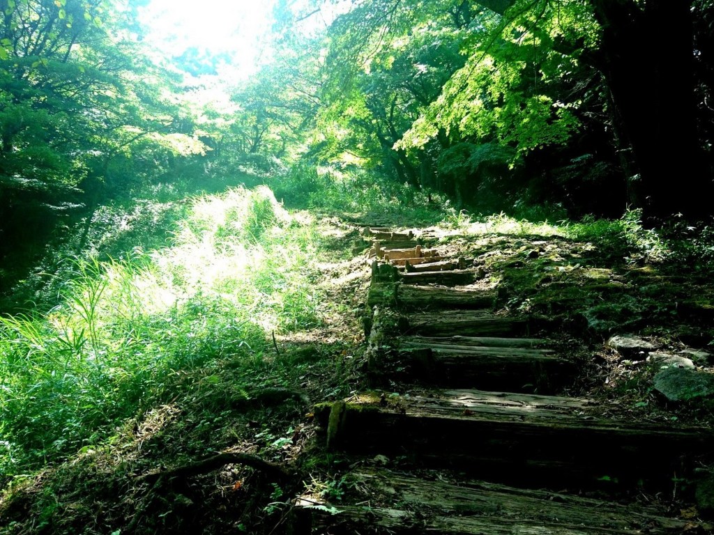
Soon, we head back down towards civilization. We avoid the path that goes towards Lake Ashi and instead follow the signs towards Hatajuku (畑宿).

The lush green switches positions with tall trees with clean trunks and the sound of water becomes increasingly louder.

The water sounds are due to none other than Hiryuu falls (飛竜の滝).

I remember visiting these falls at some point three years ago, but the landscape seemed different. There was considerable damage from falling rocks, to the point that a small observation deck made from cement was left with one side hanging.

Moving down to Hatajuku, the path is severely damaged and quite narrow at certain points. This part needs some attention in order to avoid taking the wrong direction, but thankfully there are at least two big maps. The main point to remember is to head towards Sugenji temple. Soon, the landscape becomes boring because instead of moving freely in the forest, you have to climb stairs or move along the pedestrian walkway next to the national road to lake Ashi. That is where the first mention of the old Tokai road (東海道) makes its appearance, This refers to the stone paved road during Edo period connecting Edo-Tokyo with Kyoto following the eastern coastline. A part of this road is preserved and is accessible in the mountains around Hakone. Unfortunately, this time we didn’t follow the path along the Tokaido, but instead took a left turn to Mt. Byobu (屏風山).

The ascend to the top of Mt. Byobu was rougher than that of Takanosu, but you can still get relatively quickly to the 948m. Then, you can only go down to the lake, entering from the south side, at the Hakone Checkpoint.

The checkpoint is a museum with re-built barracks and other military structures.

A lot of establishments around Odawara and Hakone are ninja-themed due to the involvement of a ninja clan with the siege of Odawara. A ninja restaurant next to the checkpoint had this interesting cannibal dango eating a dango at its entrance.


By the time we arrived, it is already sunset and the lake view appears magnificent. Since the sky was clouded, Mt. Fuji was not visible, safely hidden behind a giant cloud.


If you follow the lake to the right, you move closer to the town center where all the restaurants, hotels etc are located at. If you continue moving, you will reach the Hakone shrine. The shrine itself is not as important as the giant red torii gate, that you probably had seen already at the far end of the lake. This gate is one of the most famous photo-shoot locations of lake Ashi.

If you are curious about the size of the gate, here is me -as an average height banana- for scale.

If you are interested in the exact route, you can find a recording at alltrails. In case you are lucky and the sky is clear, consider going to the Benten observatory deck (弁天の鼻展望台) to capture some awesome shots of Mt. Fuji appearing behind lake Ashi.
Which place in Hakone do you absolutely want to visit?
