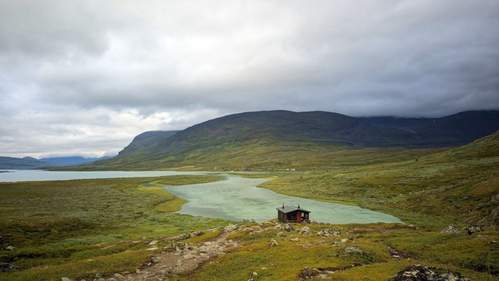
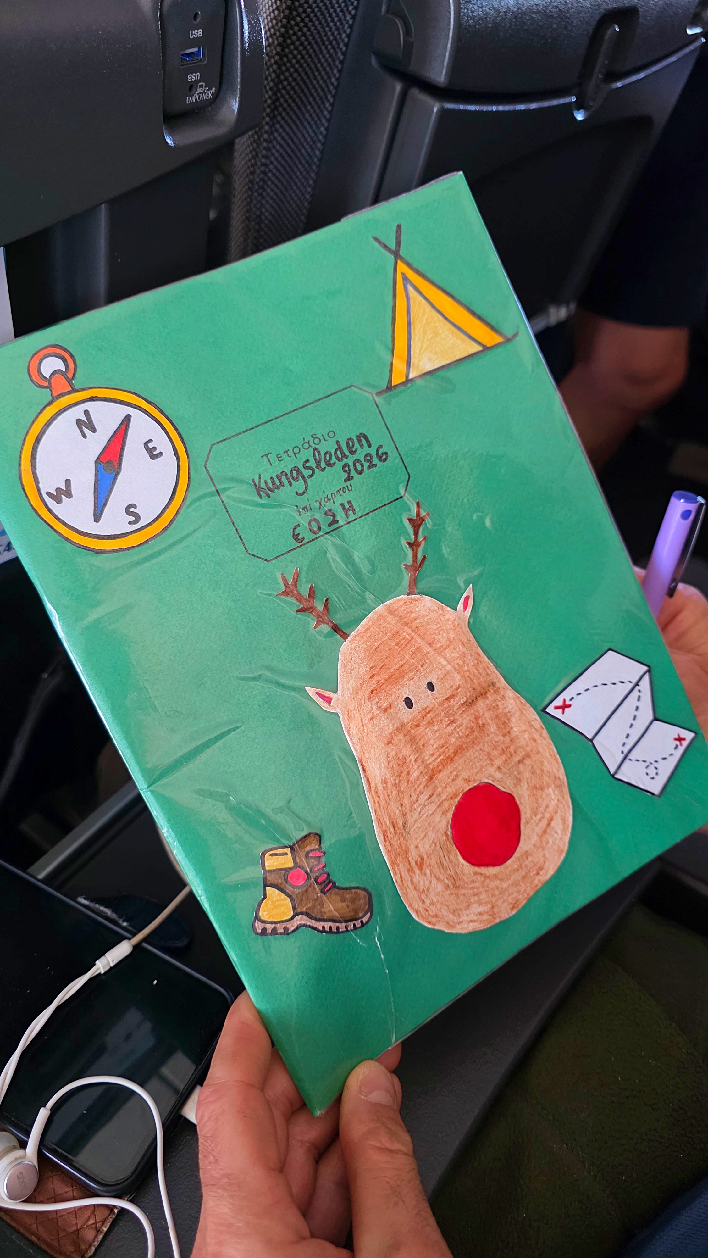
Since I was a kid, I’ve heard of Lapland many times, but I always associated it with Santa Claus’s elven village. Turns out that this northern part of Scandinavia is called Sápmi, and its territory extends across four countries, including Sweden, not just Finland. This and other relevant pieces of info (such as “How fast does the town of Kiruna slip away?” or “How many words for snow exist in the Sami language?” — you can take these questions as homework after reading this article) are included in a handmade diary we prepared for our trekking excursion to Swedish Sápmi. Brace yourselves for mud, mosquitoes, and more mud.
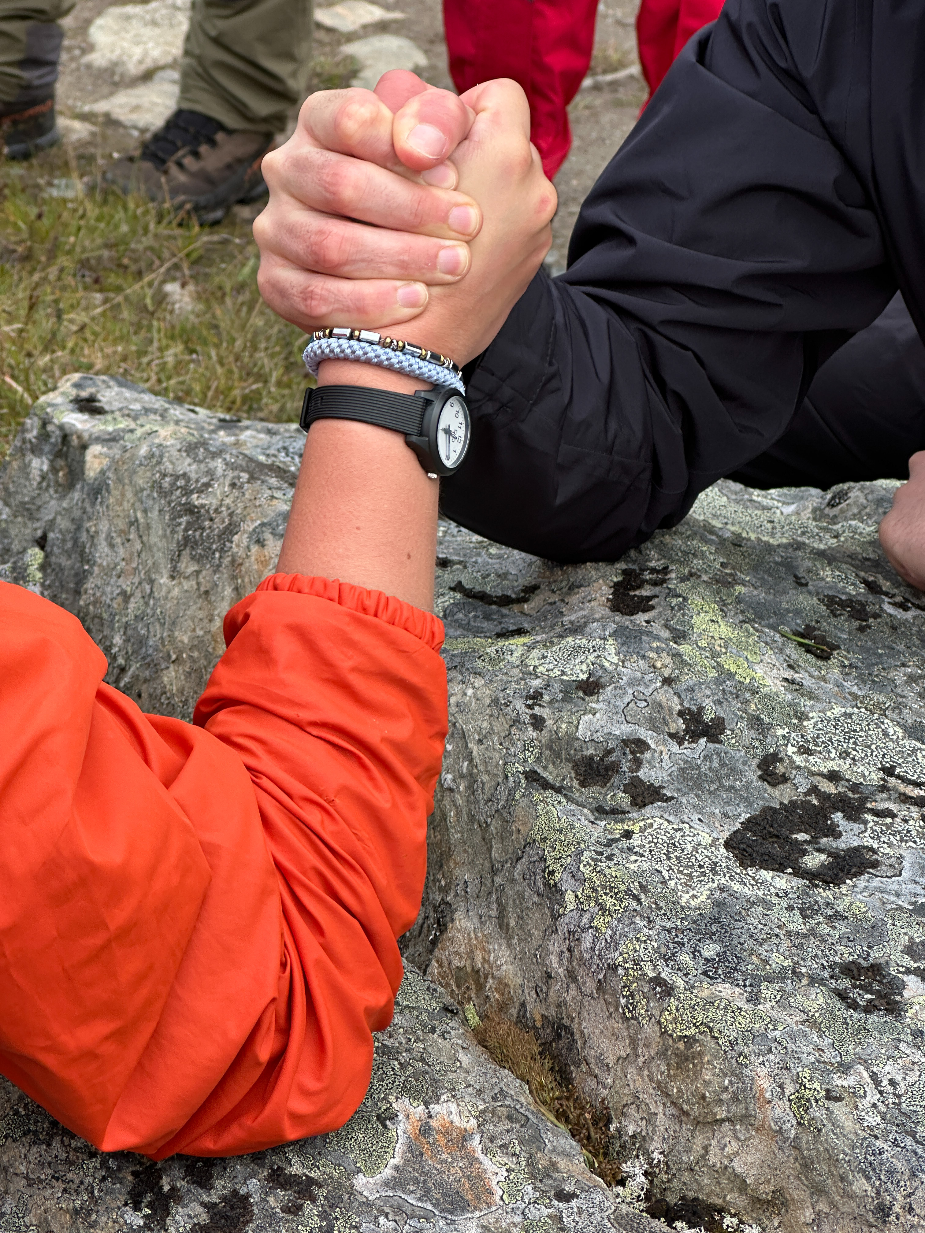
As always, our travel plans were pretty straightforward: go from point A to point B on foot, carrying all our tiny household belongings on our backs, like patient snails. Point A was Abisko, point B was Nikkaluokta. The trail connecting them is Kungsleden, the King’s Trail, fitting for a path that takes you to the highest summit of Sweden, the grandiose Kebnekaise. It’s a roughly 450 km trail in an area occupied by swamps and mosquitoes, but still people flock there every year, especially during the endless midsummer daylight. We opted to do about a third of it, over 6 days, north to south. From the moment we arrived in the northern town of Kiruna, I understood it was going to be a very refreshing experience, unlike anything else I’ve tried before. BTW, Kiruna is moving at a speed of about 3 km per 10 years, as a new city is being built next door since the current one is being swallowed by a mine.
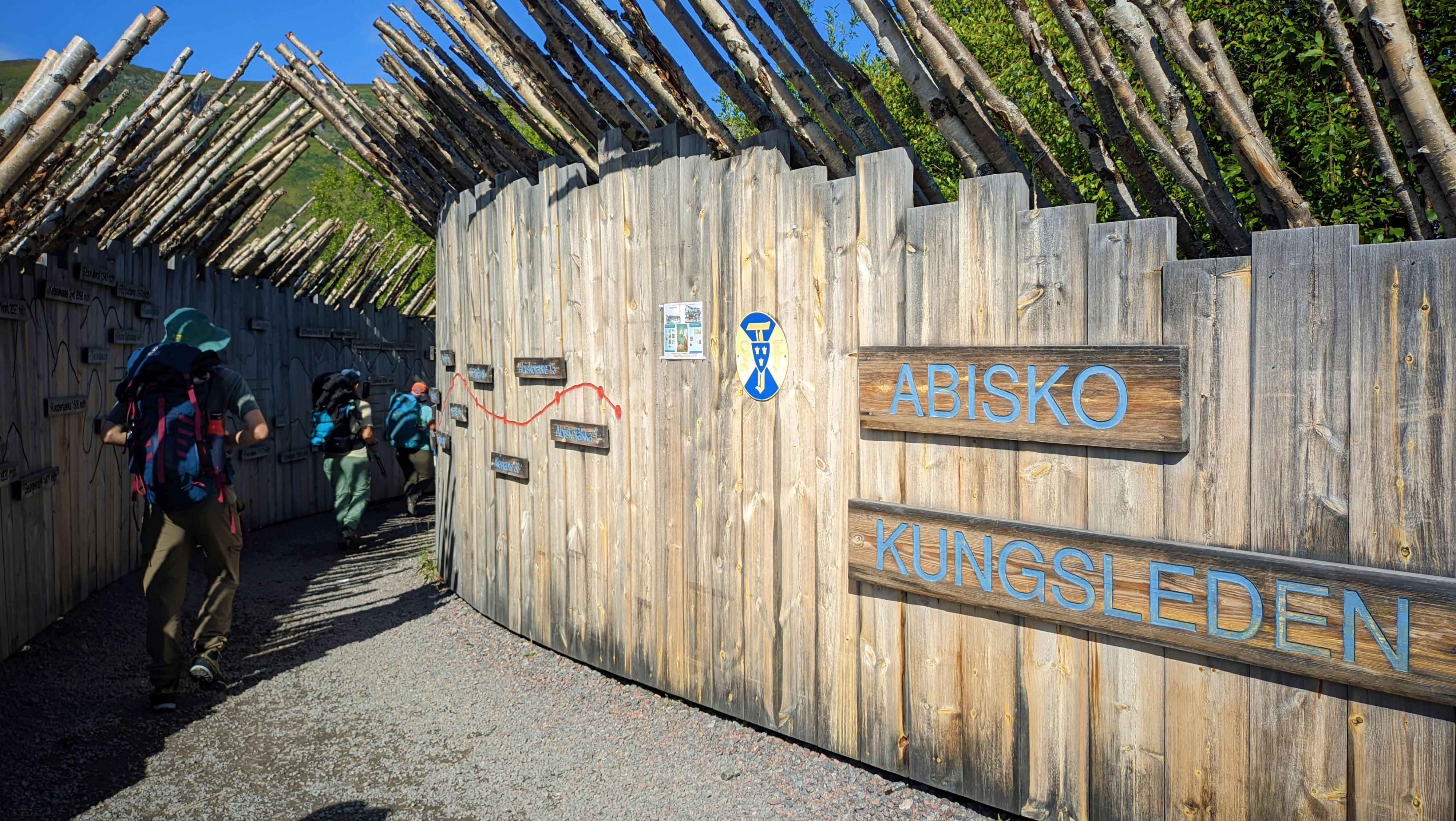
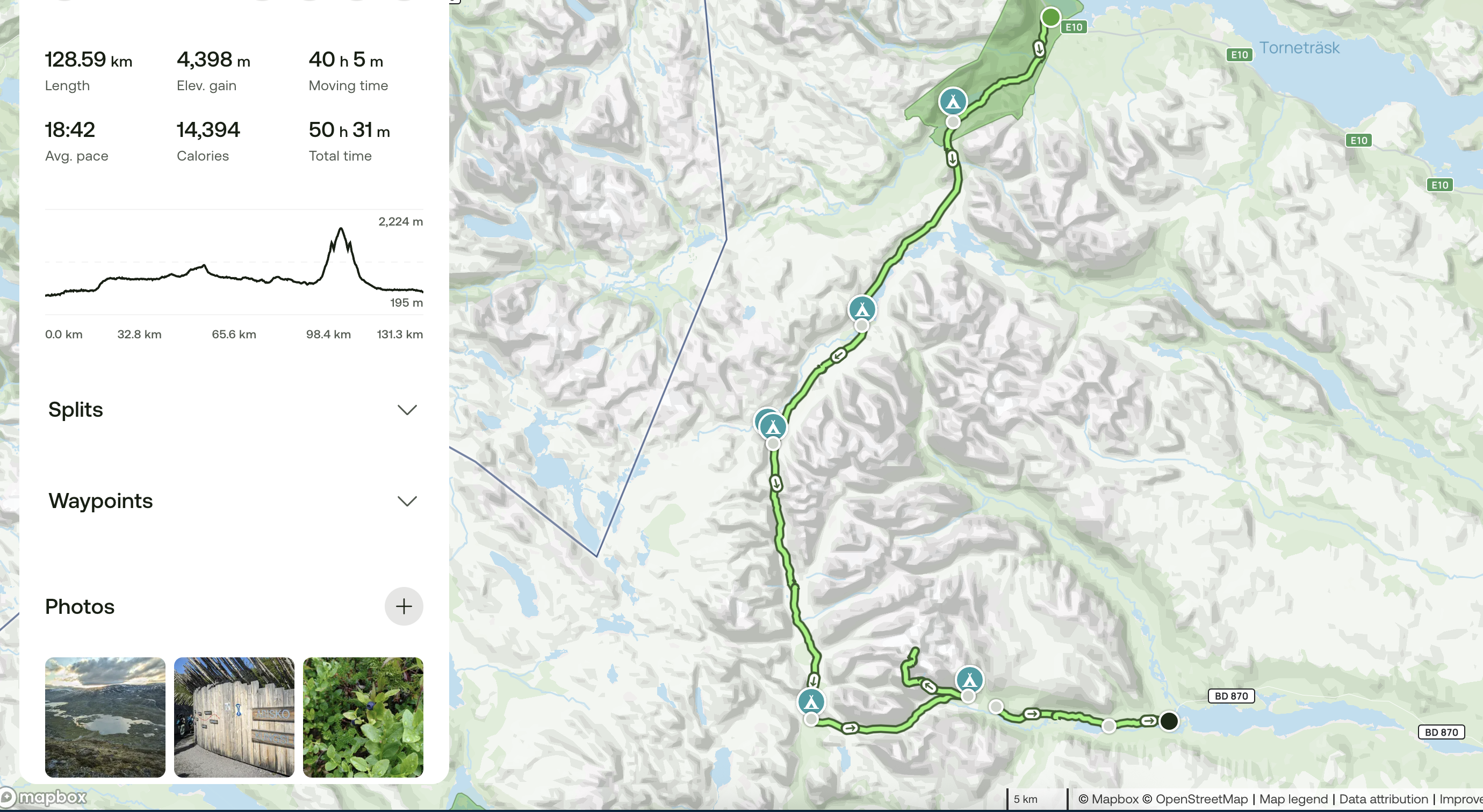
Route: Abisko → Abiskojaure → Alesjaure → Tjäktja → Sälka → Singi → Kebnekaise → Nikkaluokta
130 km
6 days
7 nights
25+ km on our longest days
1 summit (2,071 m)
Countless blueberries eaten
An unreasonable amount of mud
∞ mosquitoes
∞ more sauna needed
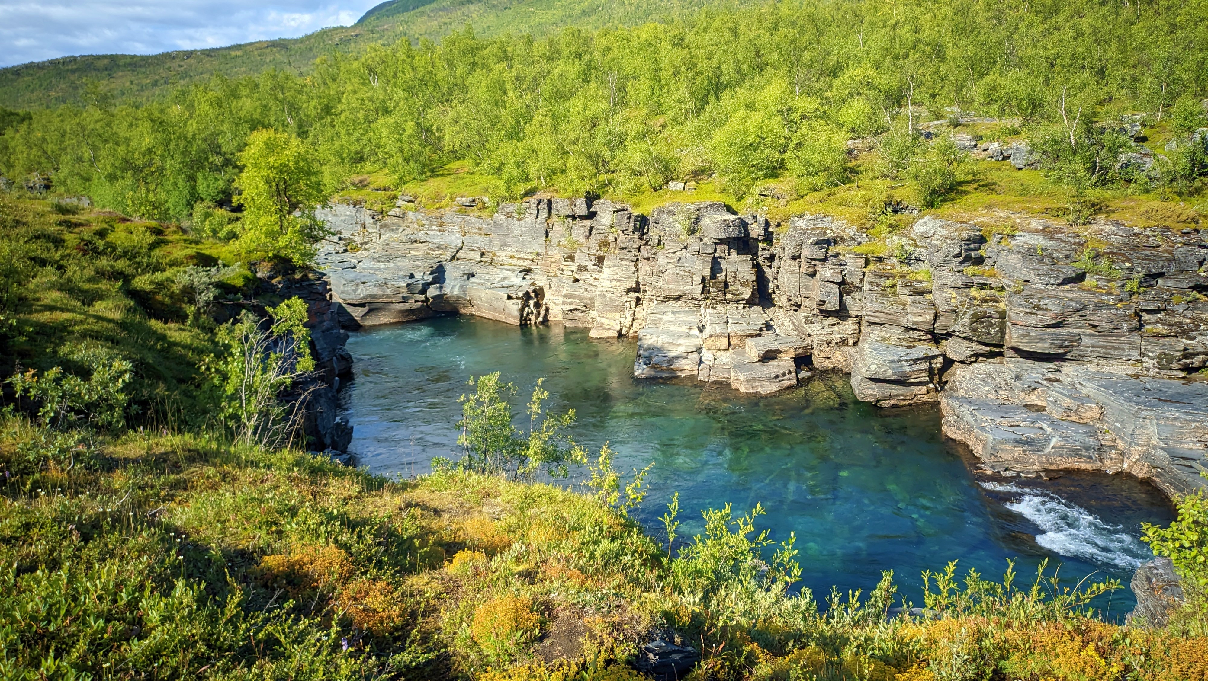
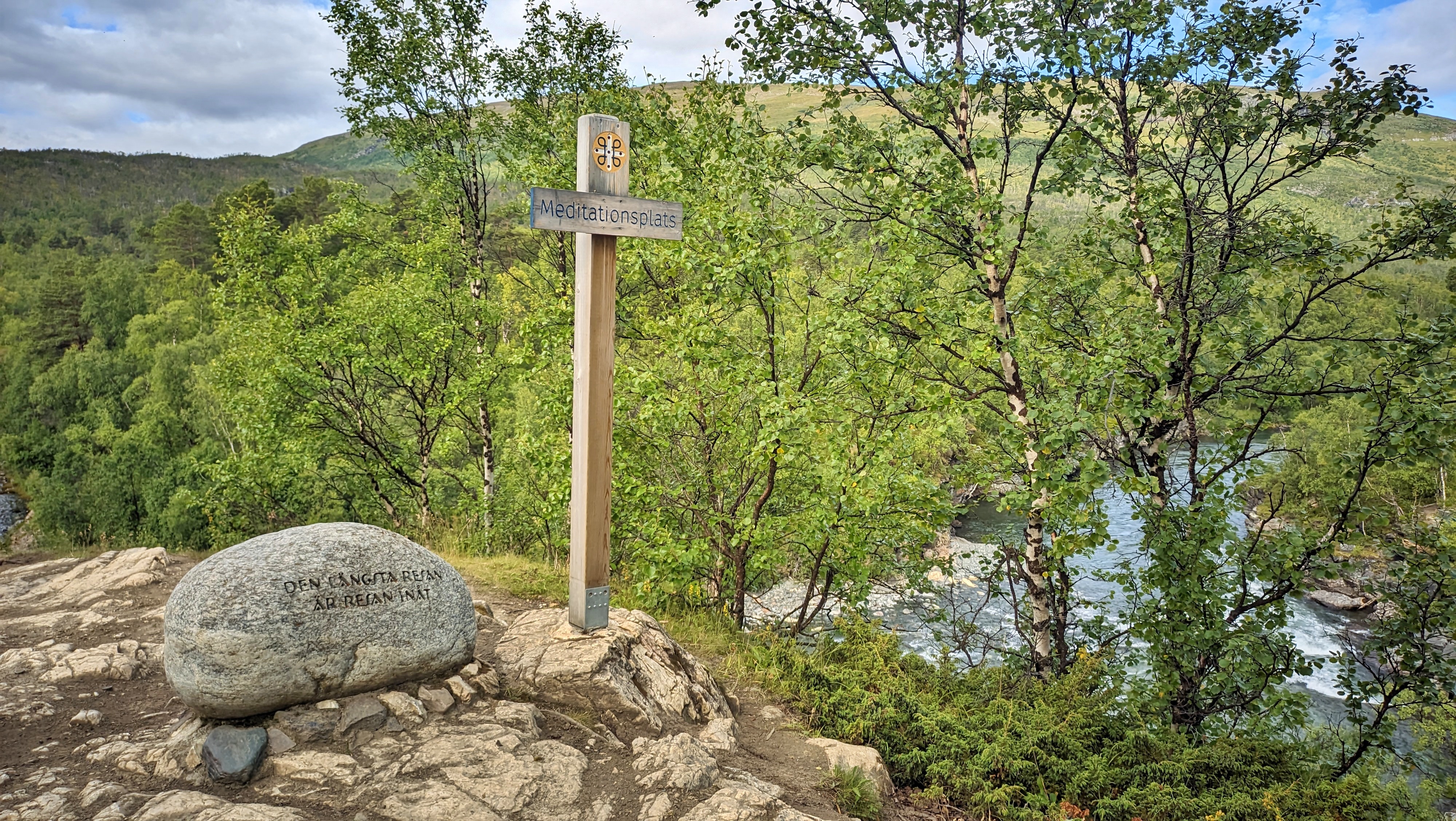
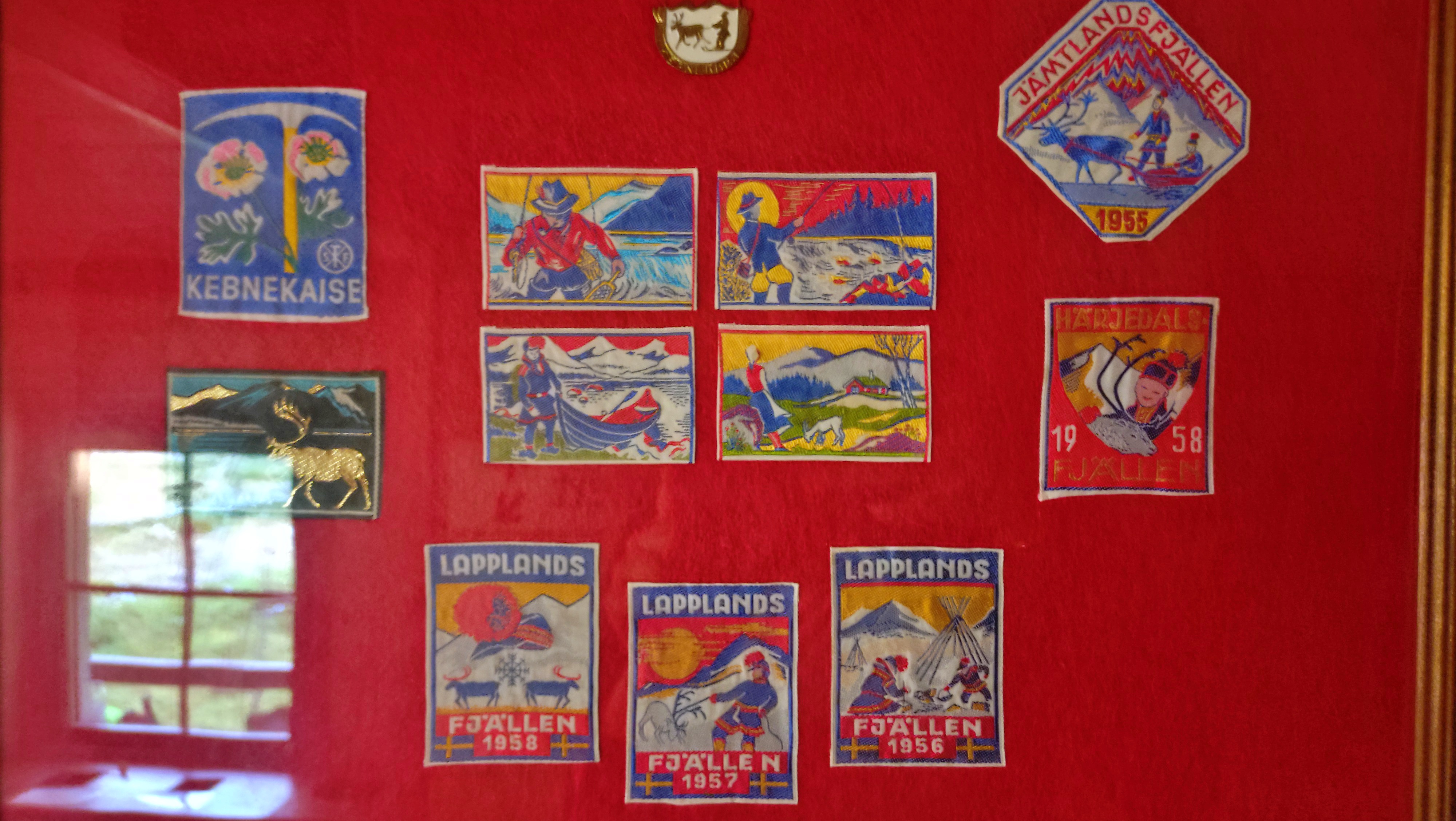
These northern parts are vast and pretty empty of people. Thank the harsh Arctic climate for this. Still, the Sami people have been inhabiting these lands for centuries, supported mainly by fishing activities and reindeer herding. They have several settlements scattered across the mountain valleys. I was under the impression that Inuit languages have some 30 words for snow, but apparently the Sami languages have something in the order of hundred words for the same concept. For centuries, they somehow maintained a degree of separation from Scandinavians, since they were mostly self-sufficient residents of the north. Alas, similar to many minorities around the world, their recent history includes forced integration and loss of indigenous language and culture.
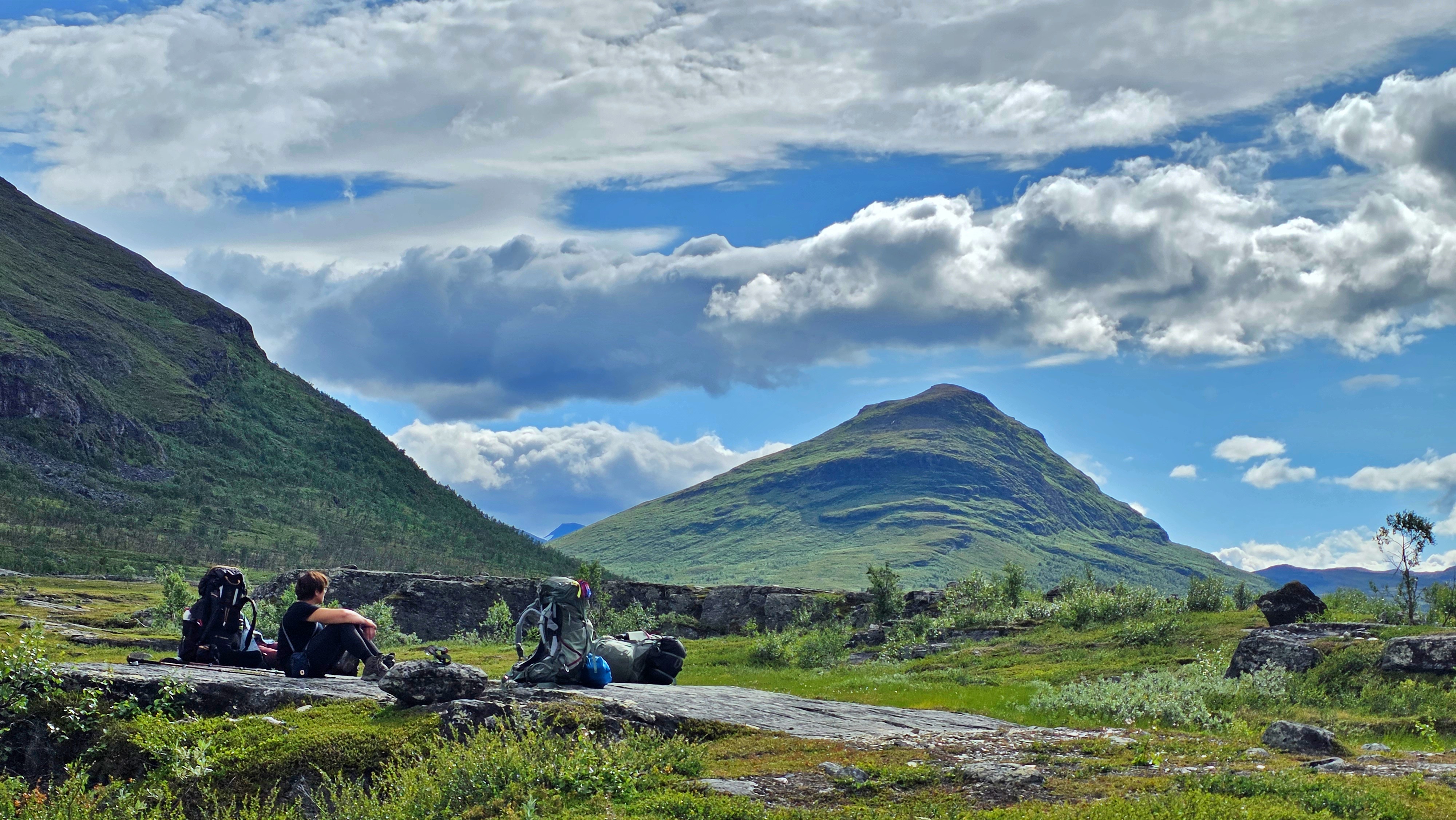
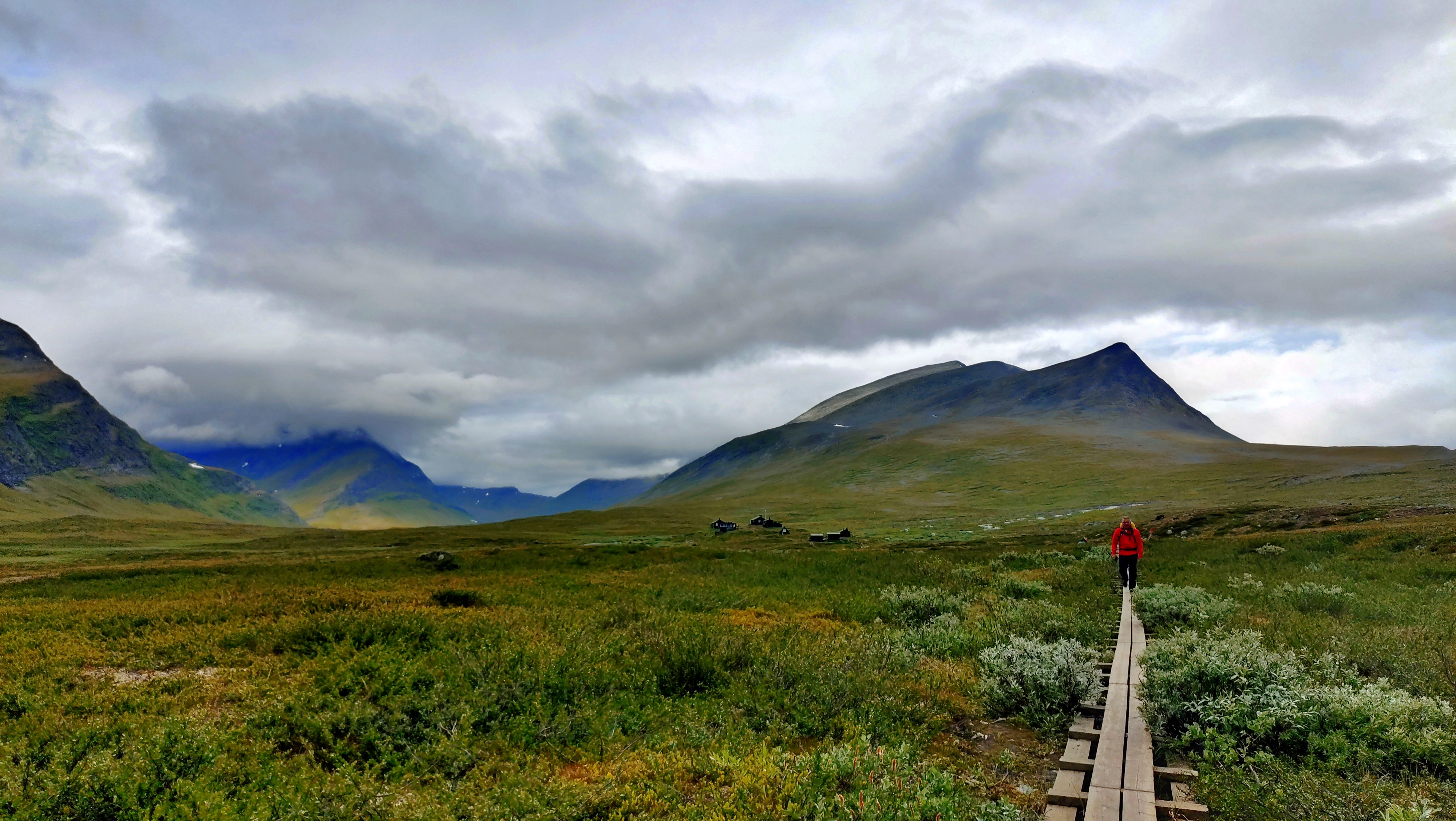
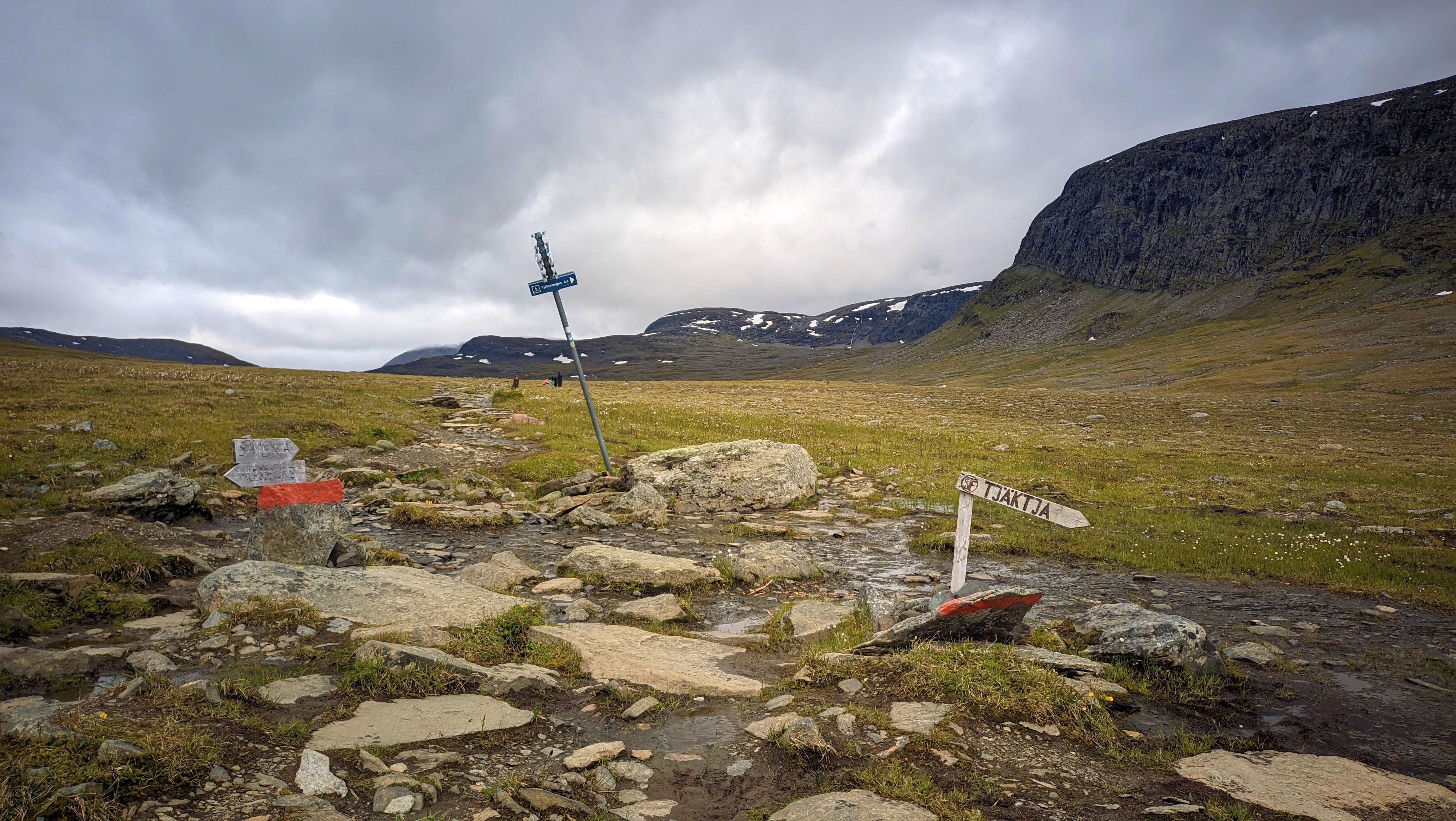
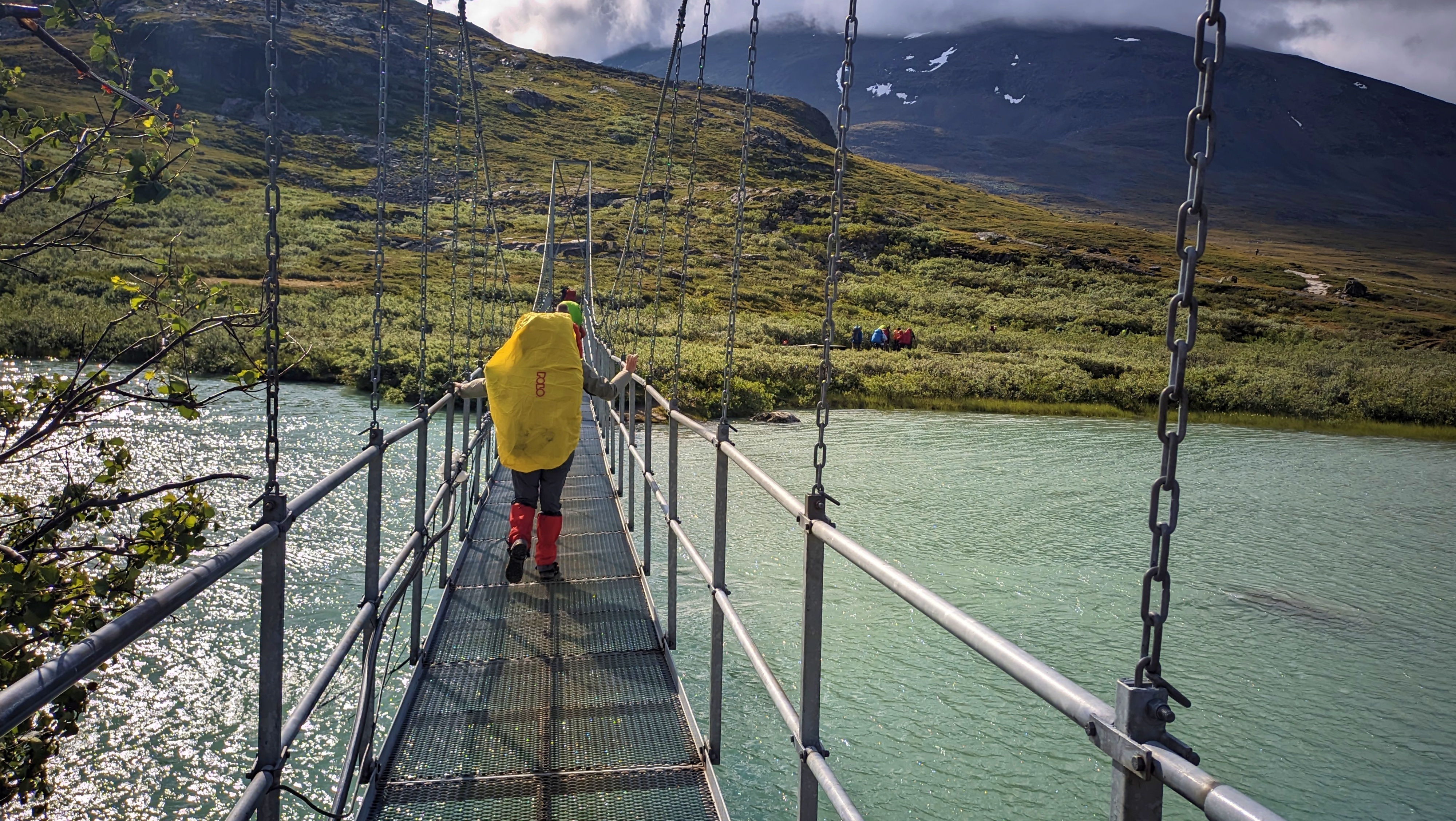
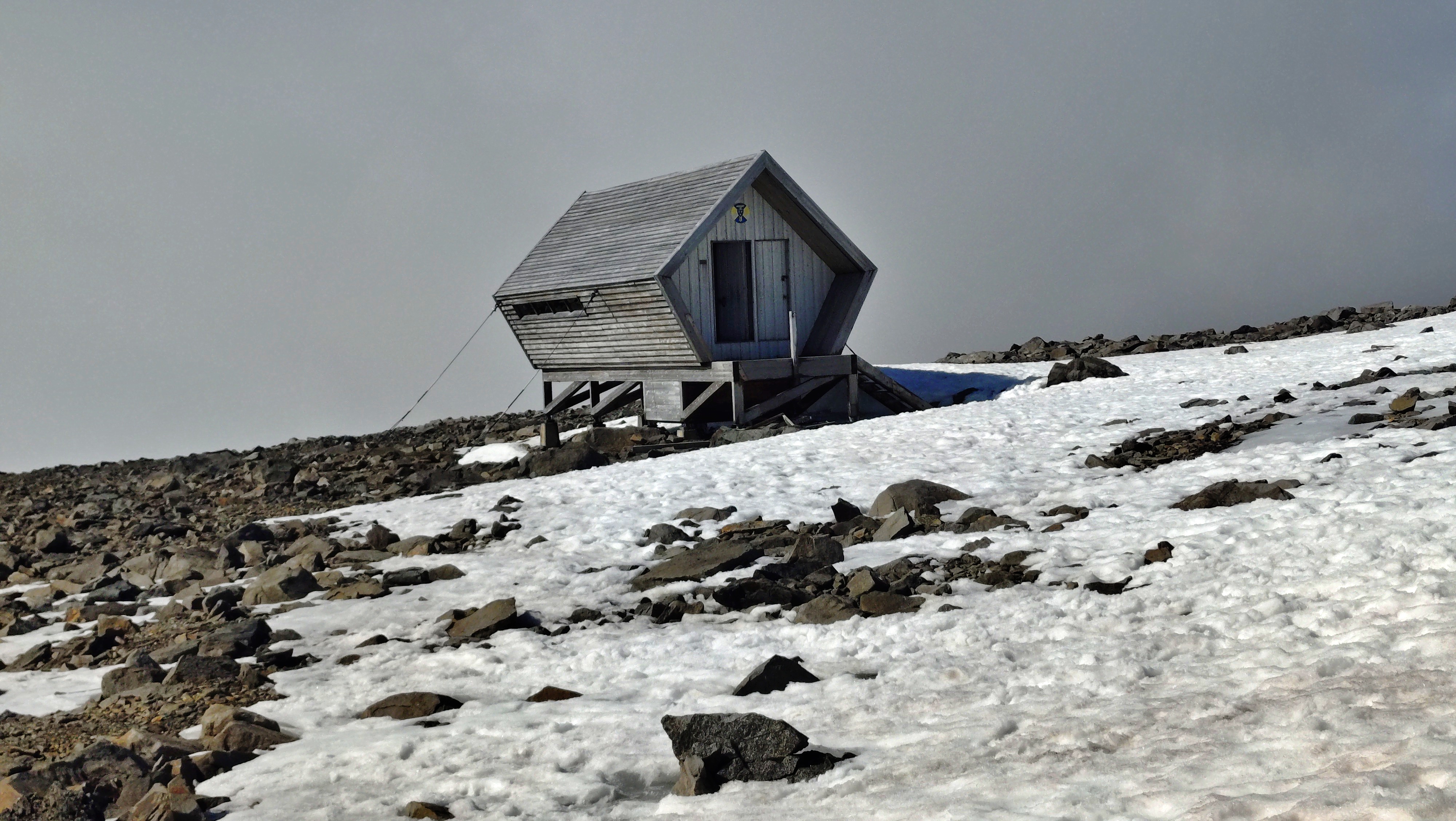
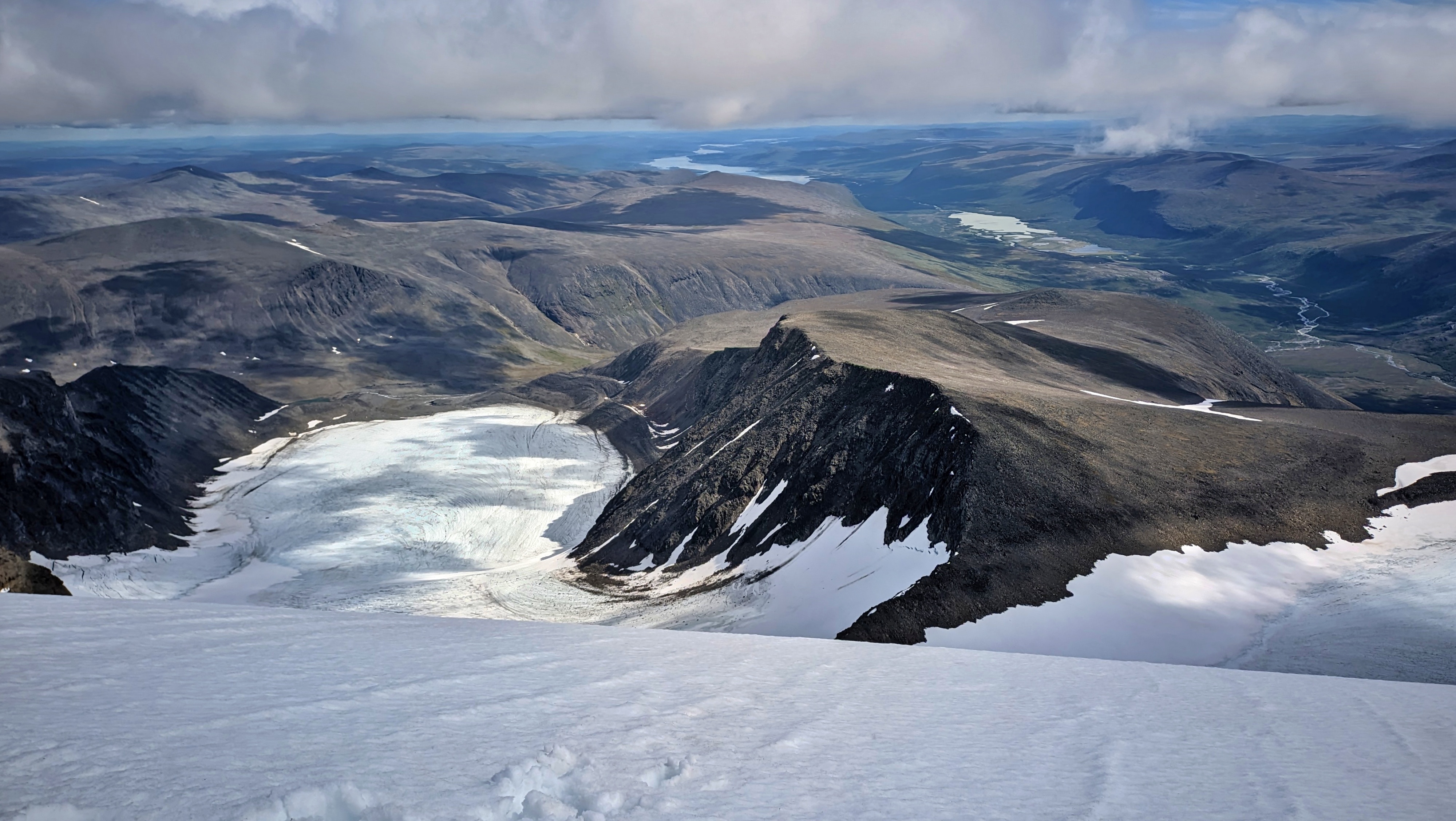
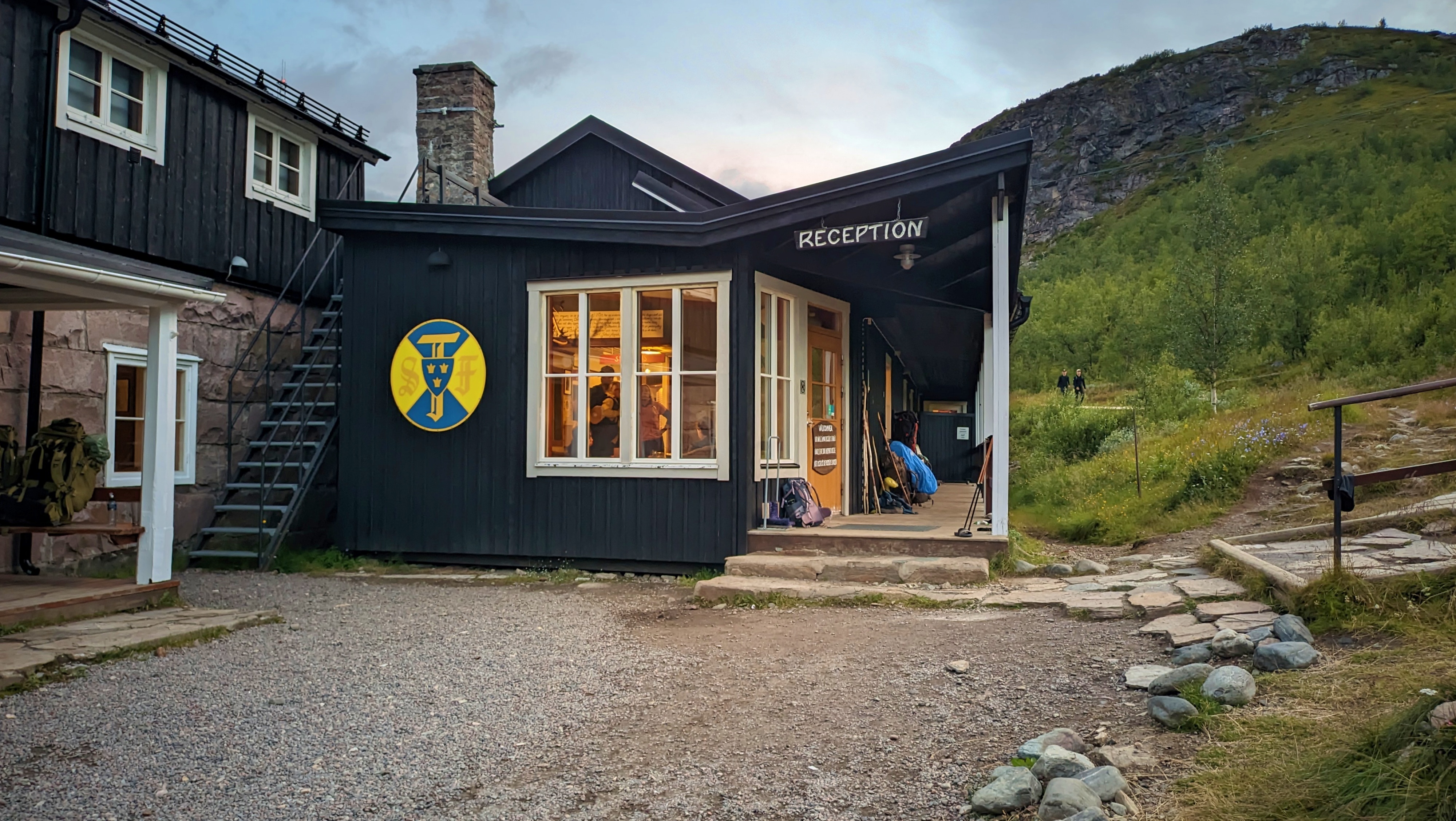
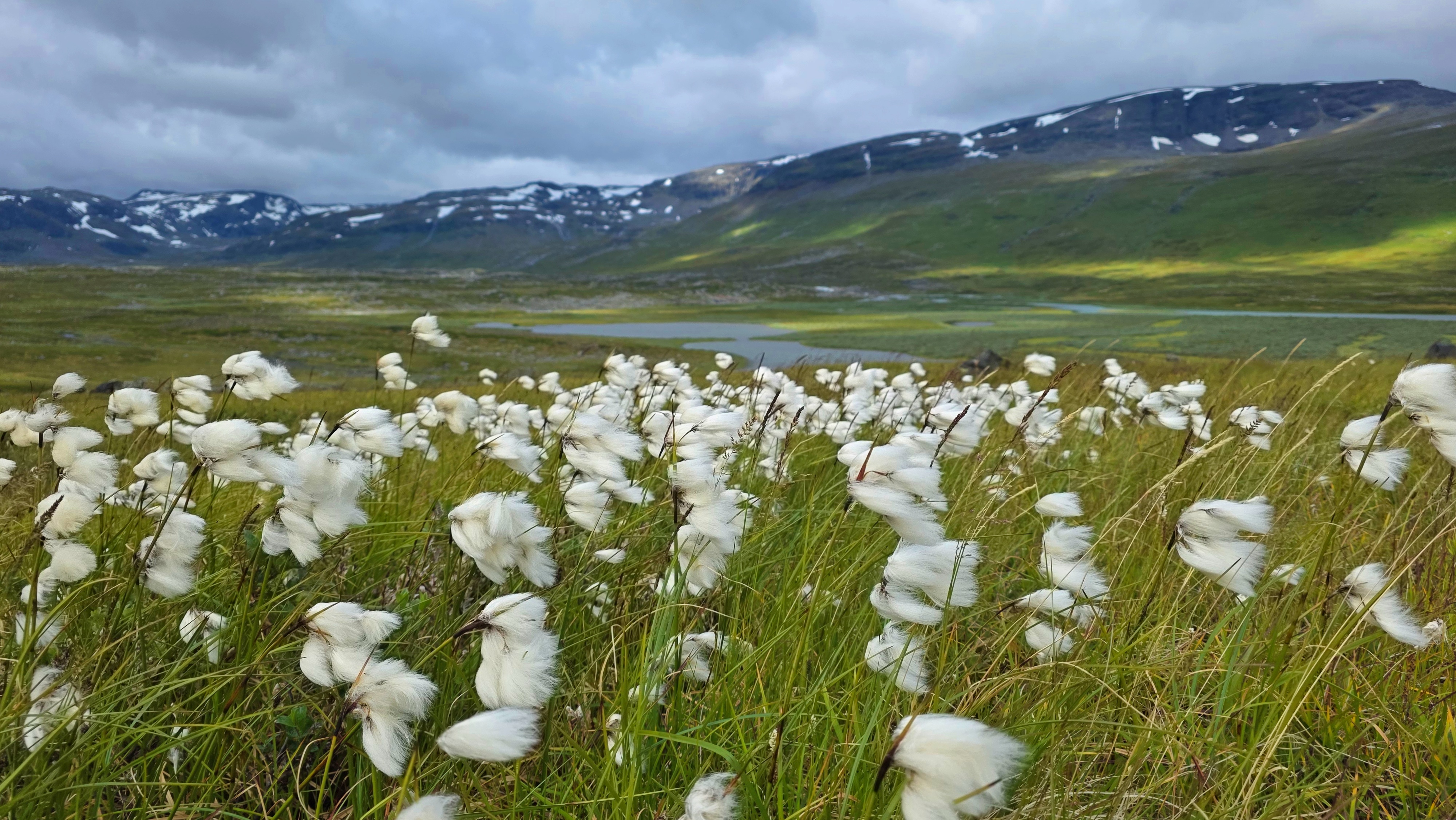
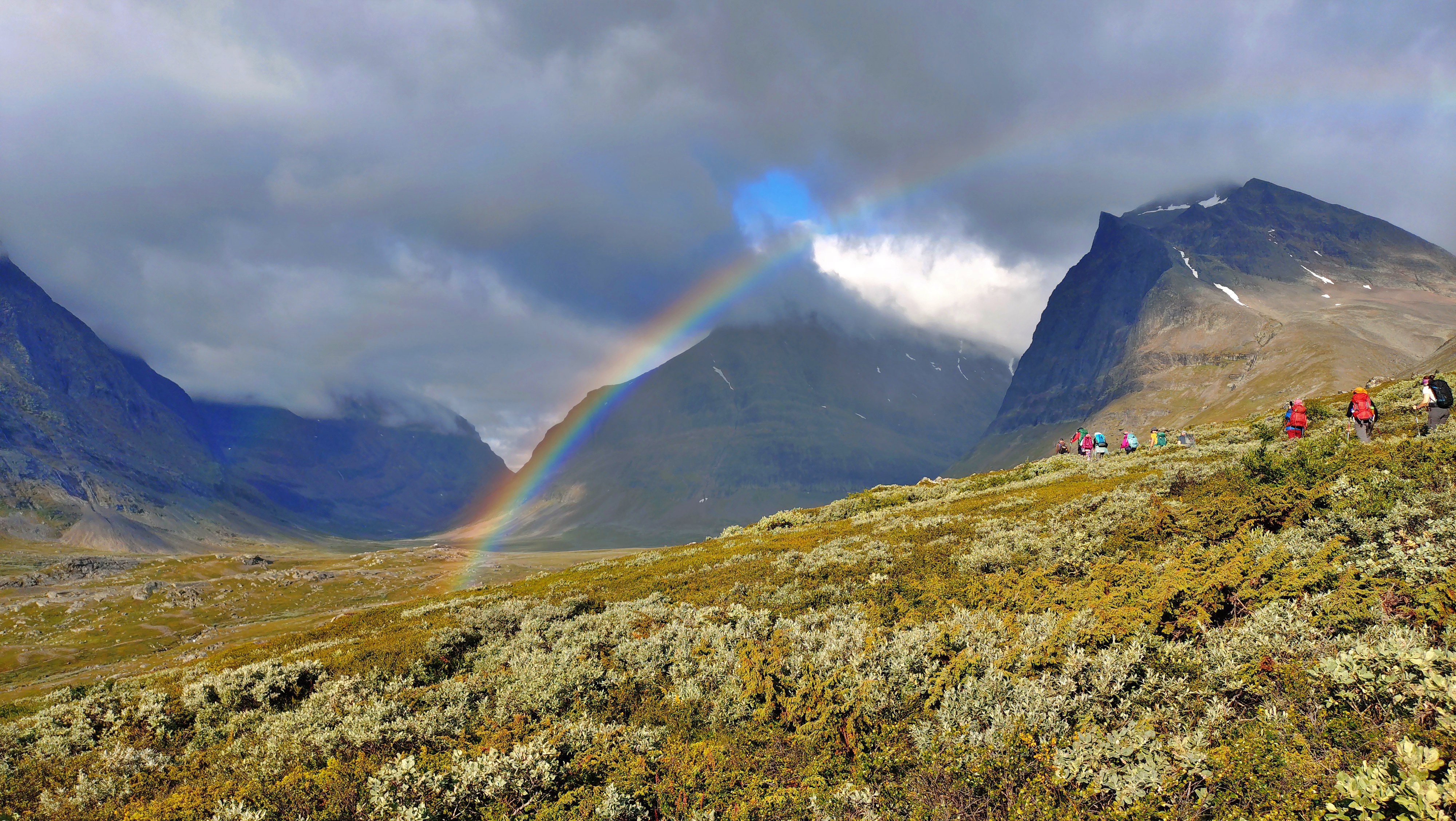
Now, the lands of these people (in the Swedish part of Sápmi, at least) form the backdrop of the most popular trek in Sweden. Well-kept wooden decks help avoid the mud, hanging bridges help us cross the heavy streams, and marks, arrows and signs point to Kungsleden – both ways, it is only one trail without crossings. At perfectly regular intervals on the trail, you meet organized huts and emergency cabins. All manned huts had cooking facilities, at least some emergency food supplies, toilets, and accepted credit cards. Using an STF membership card offered quite substantial discounts in bookings and purchases. Phone reception is a convenience that you will have to forget for while, but hut managers have access to a satellite phone for emergencies. One can either book a room in a hut, book a camping slot next to the hut grounds, or set up camp for a single night at a random point on the trail. During the trek, we moved on relatively flat grounds, rising in elevation only to cross from one U-shaped valley to the next. The U-shaped valleys are the signature of glaciers. Unlike rivers, which tend to carve V-shaped valleys, glaciers grind broadly through the landscape, leaving enormous rounded troughs behind.
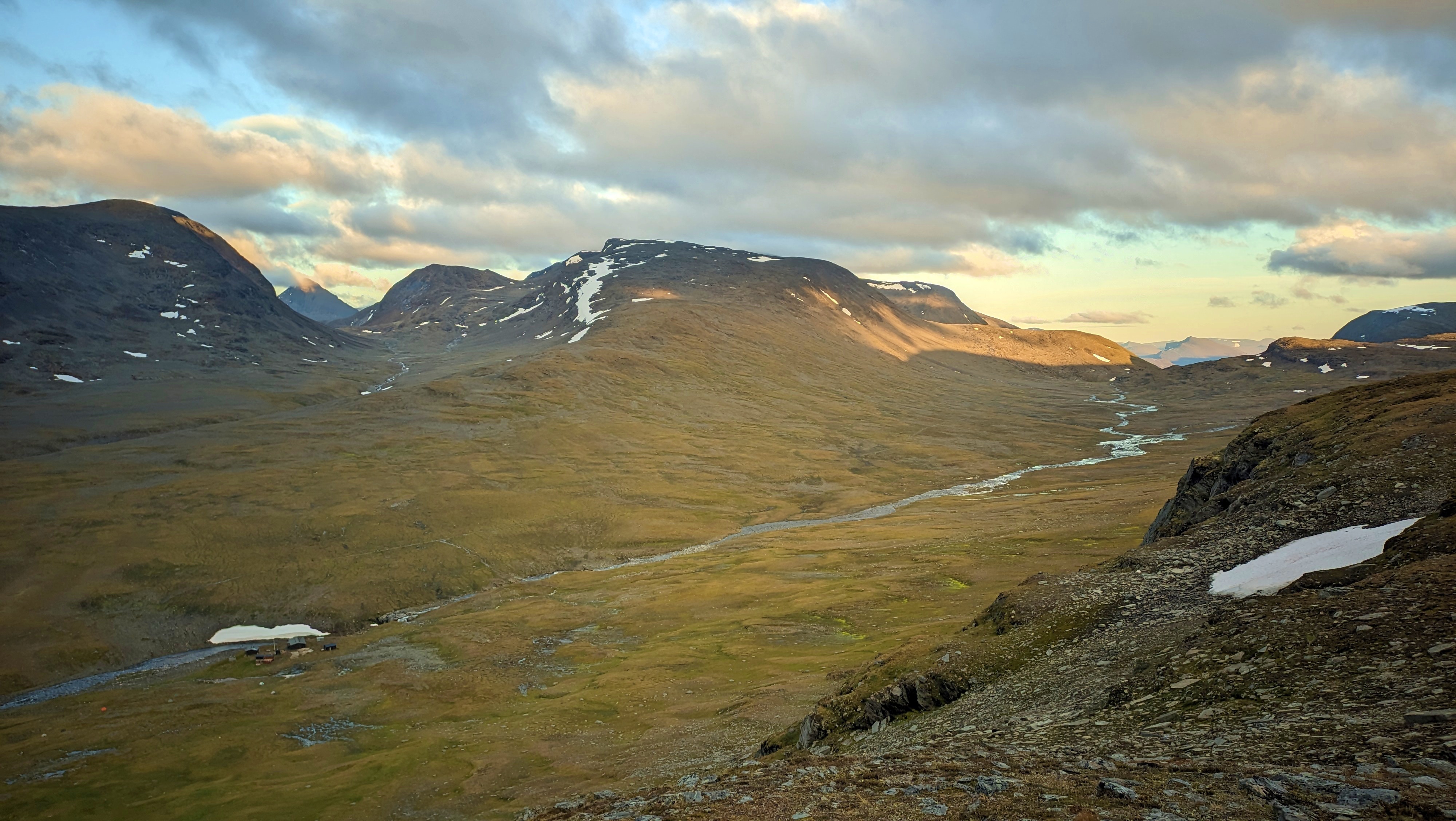
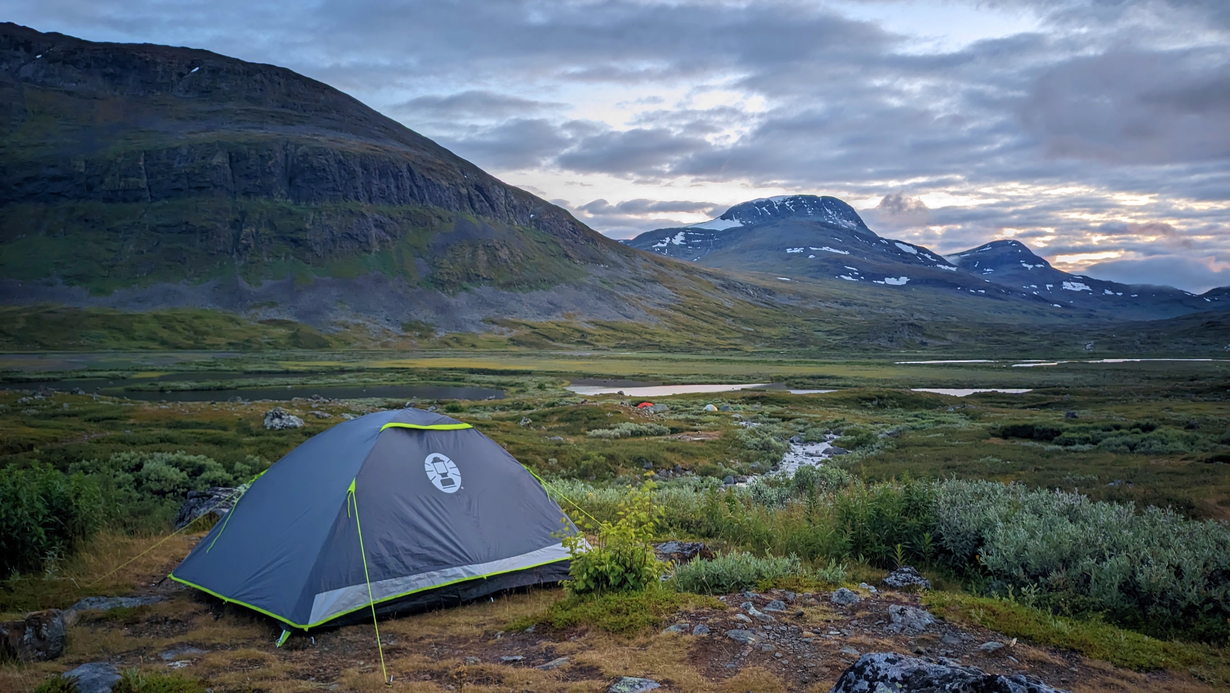
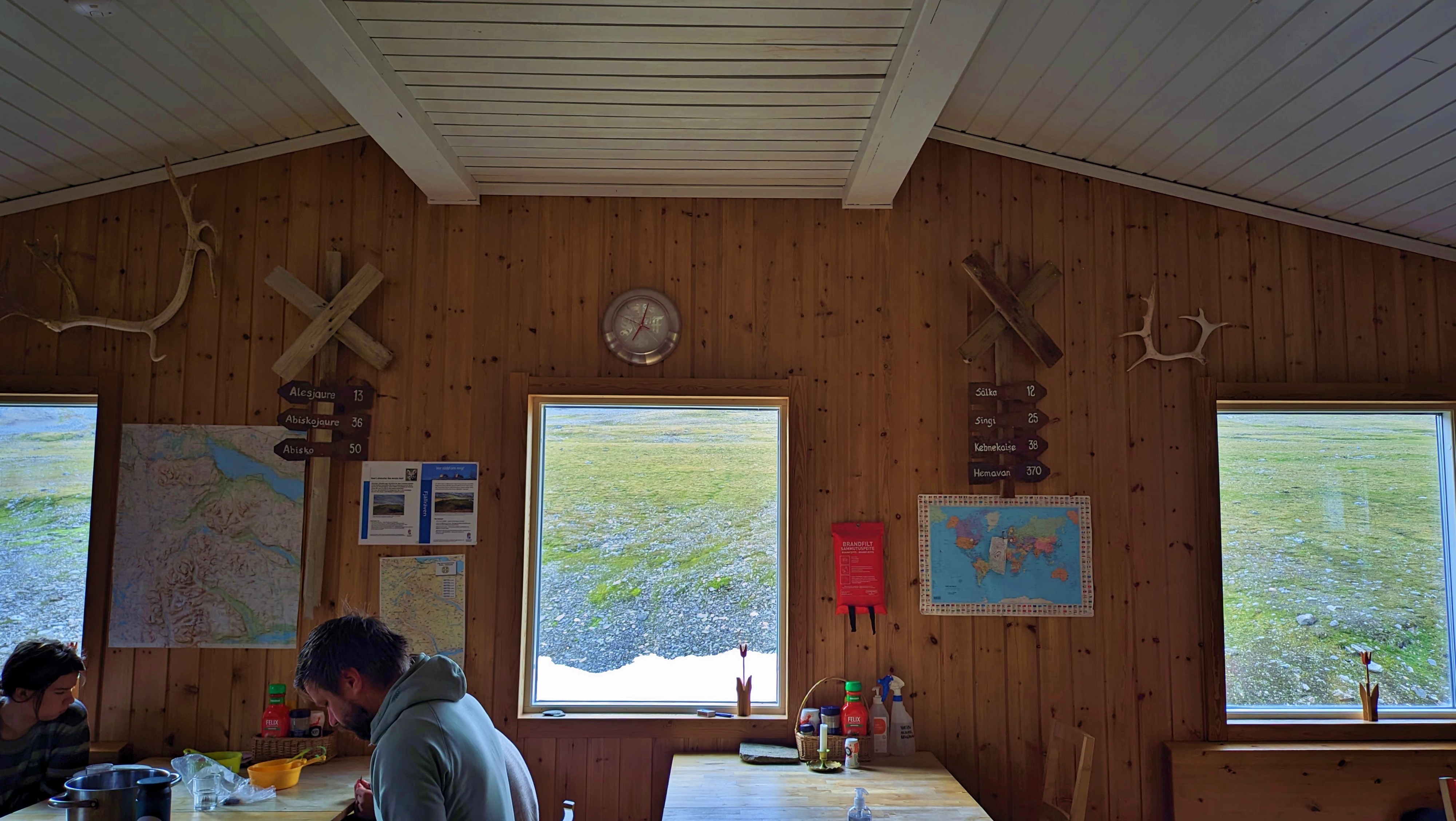
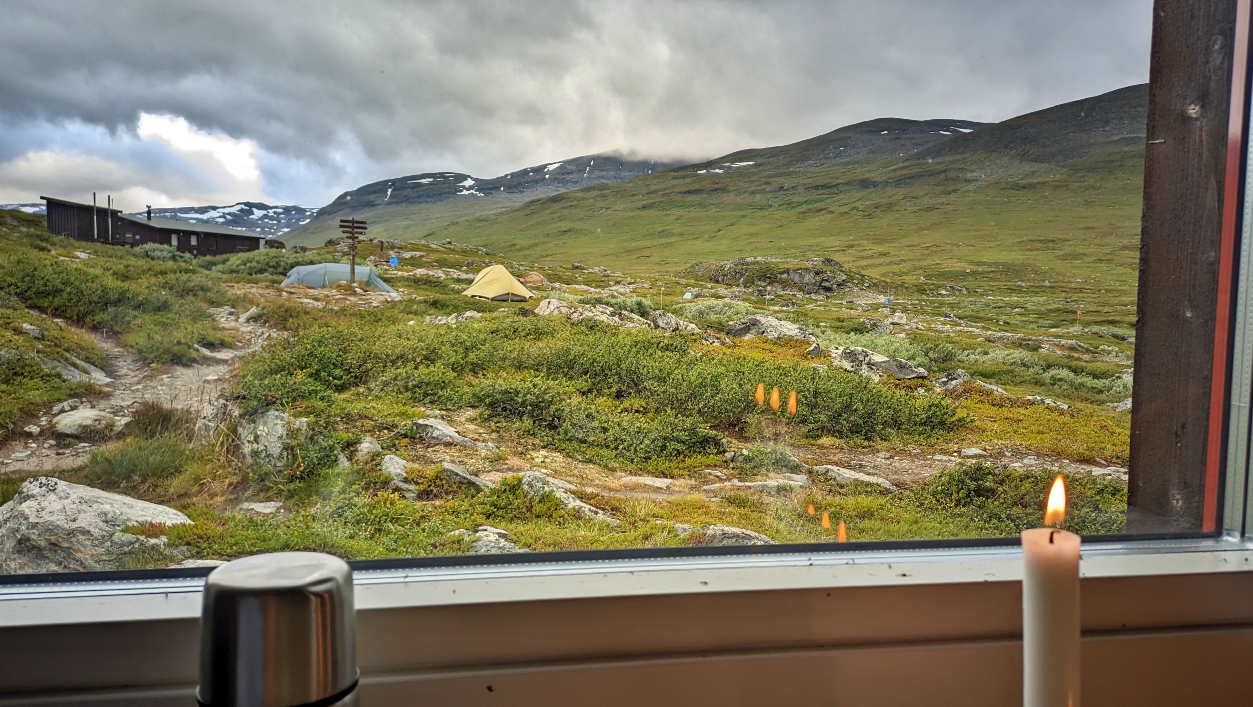
My tent offered the best views, but the huts were a sight to behold. The most important rule was to light the candles and turn them off when curfew time came. Candles for light, when there’s a bright sun outside? It’s for the atmosphere, they said. Still, contrary to my expectation, the midnight sun became a bit gloomier around 10 p.m. and the air a bit chillier. The wild flowers still closed their petals during the ‘evening’. So the simple effect of lighting a candle (I would guess) probably helps set one’s circadian rhythm to feel ready to go to bed. Irrelevant, I’d say. After walking 20+ kilometres with a heavy backpack, your body doesn’t care what the sun is doing.
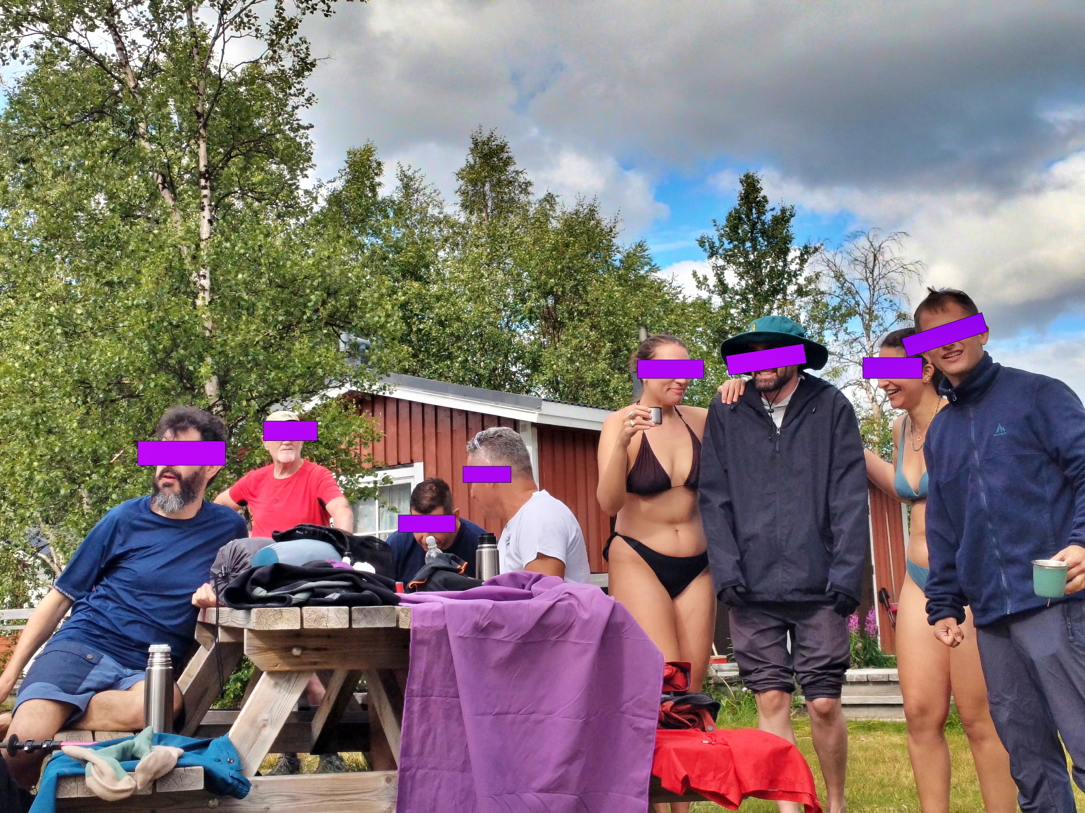
The single best thing in the huts, however, was the Sauna (insert my friend Yanni semi-moaning Saaaa-una). Familiar as I am with Japanese onsen or even Samothraki’s nudist etiquette, I was eager to try. This wasn’t some luxury addition, since saunas are a genuine part of the infrastructure of several mountain huts along the route. On the first day we were shy. Swimsuits on during the mixed-gender sauna schedule, not knowing how long to sit inside, or how to move back indoors after going to the river to cool off with our feet full of mud. On the next day, we got better. Swimsuits off during the all-female session, running like fairies to the river below and back to the sauna room, four times in a row. Female acceptance and bonding with women you just met and probably will never meet again, which I had treasured in Japan, now became a common experience for the rest of my friends. By the final day of our trip, feeling naked and exposed was a thing of the past.
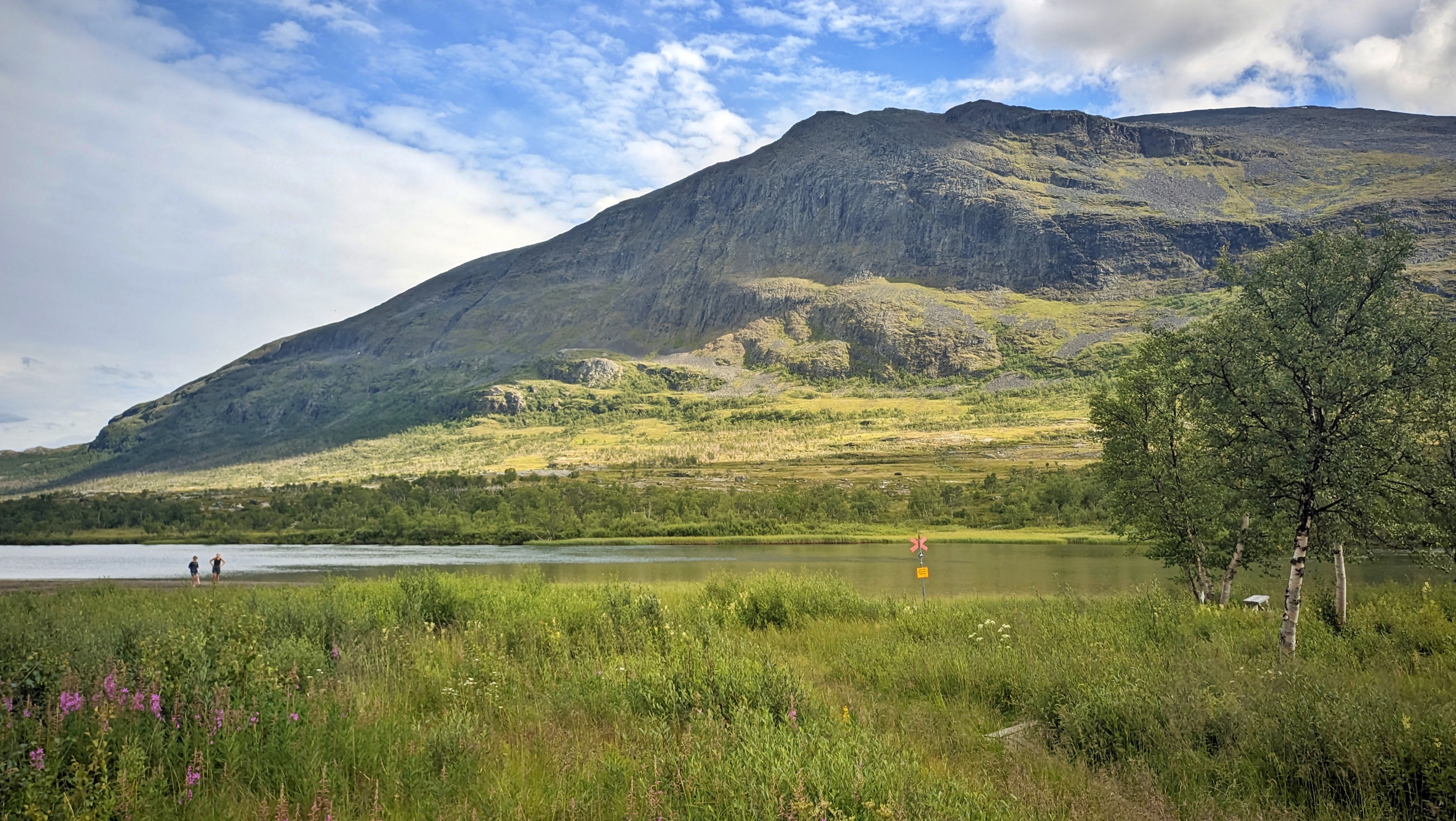
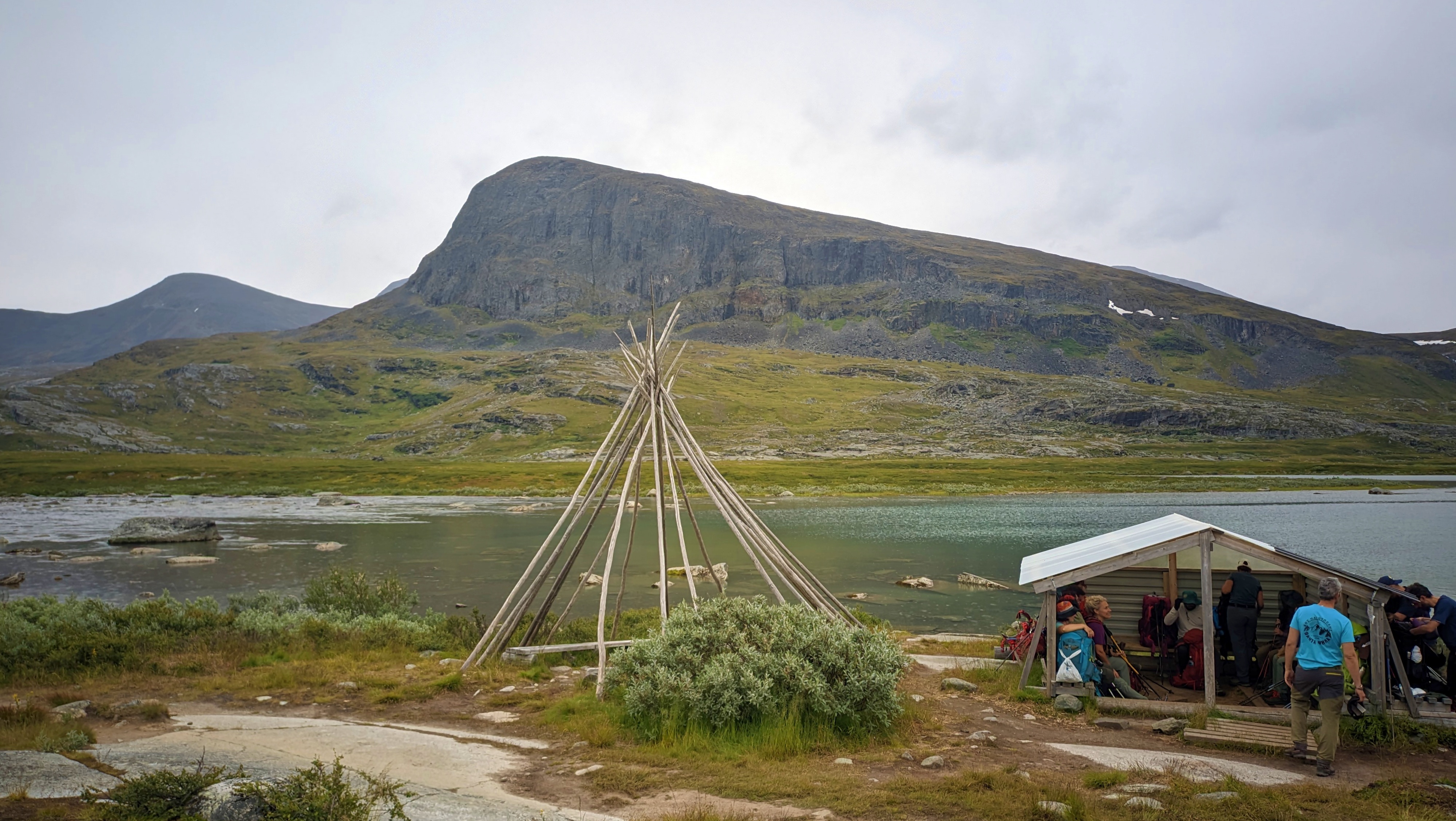
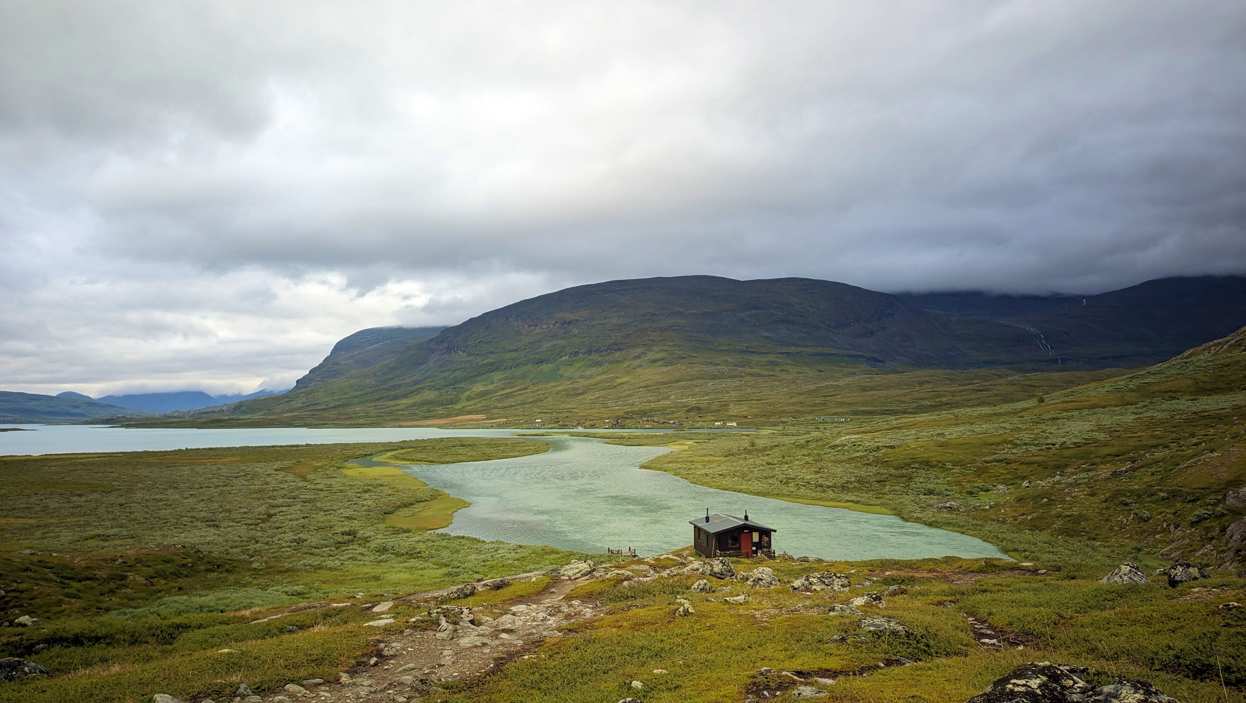
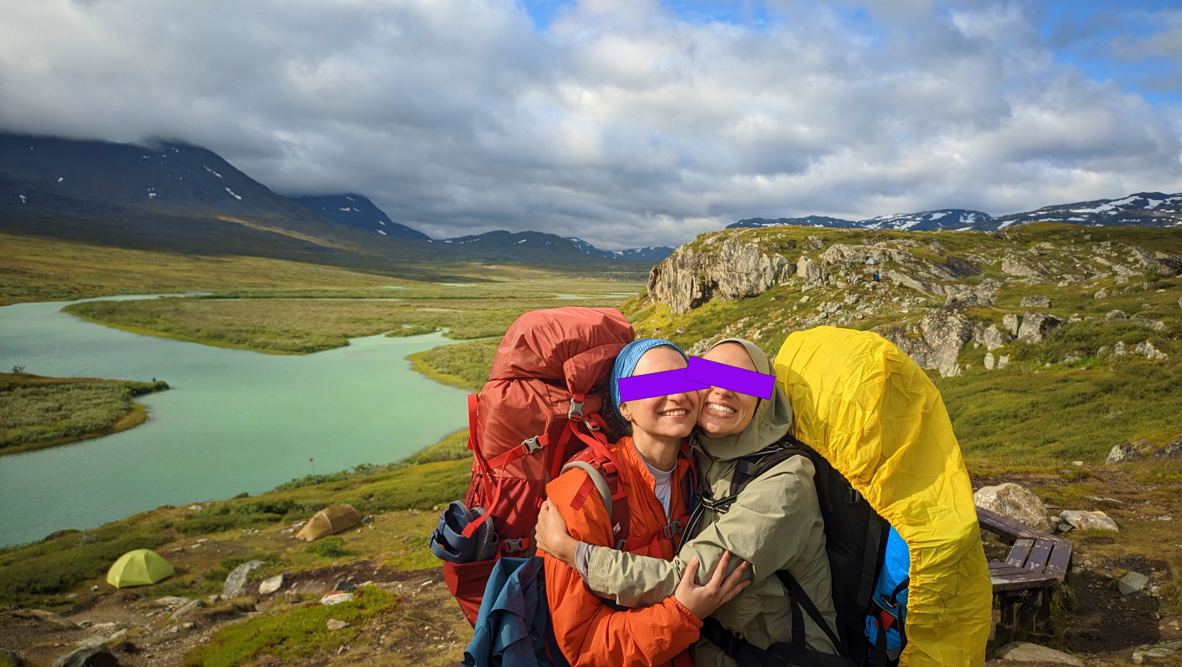
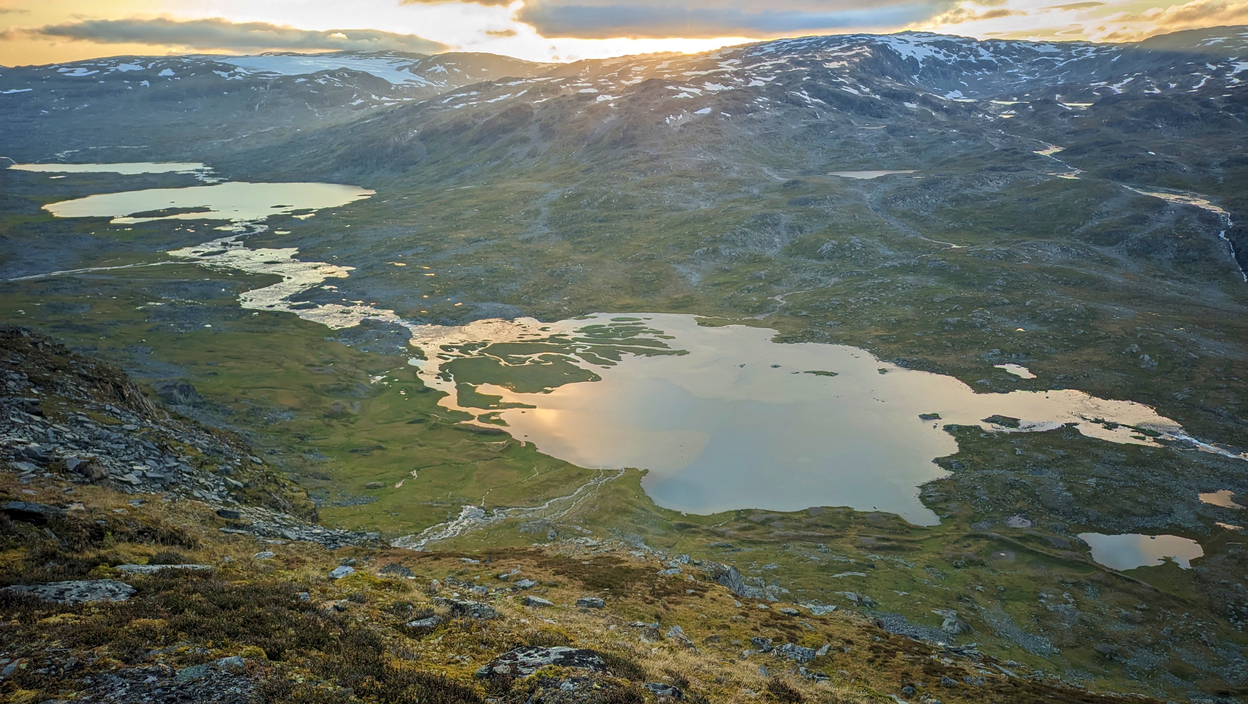
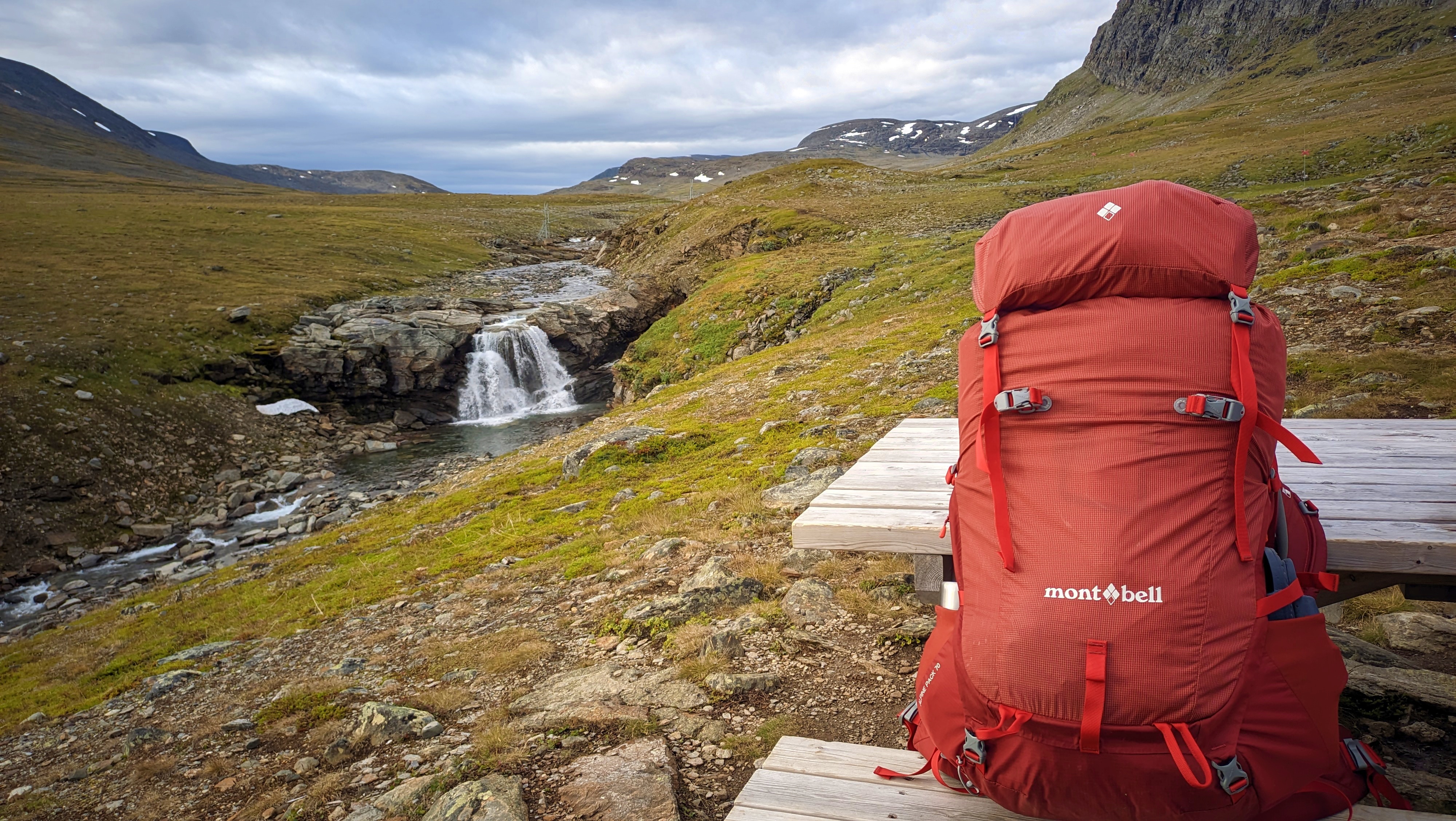
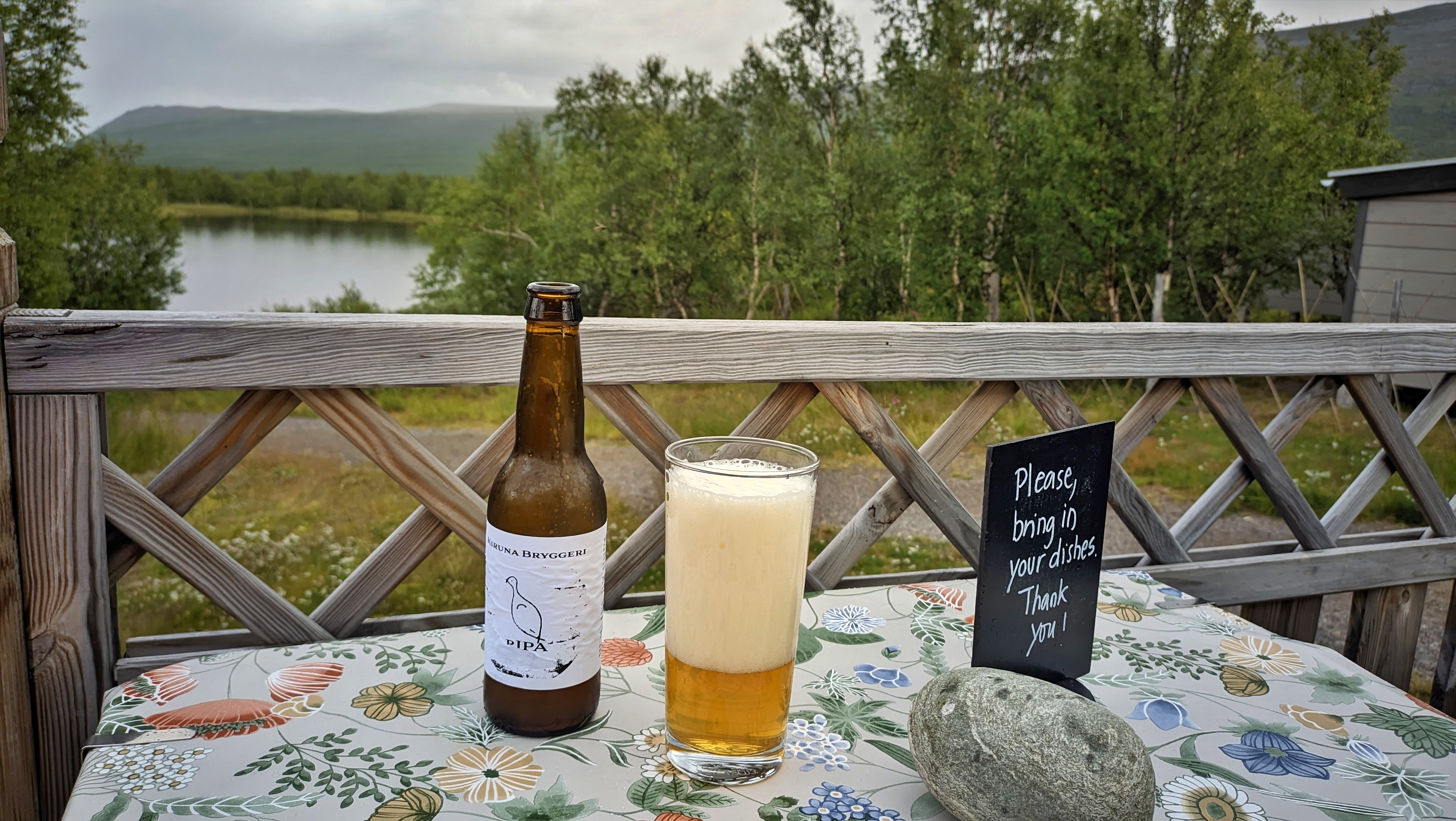
Starting from the giant headquarters hut of Abisko, where we camped on the first night, we walked towards Abiskojaure hut. The river there had a nice and easily accessible beach to dip into quickly, while we were hot from carrying all our equipment on a sunny day. The next night, we spent at Alesjaure, from where we could see a Sami settlement on the other side of the river. On that day, the rain soaked us so much that we didn’t feel like setting up camp. Since there was some space, we were allowed to sleep in the common room, on the floor and on the benches, for an extra fee, of course. The fourth night found us at Tjäktja and its magnificent waterfall. I think this was my favourite hut out of all of them. Many reasons contributed to this, but one of the main ones was daring to go to a short peak just above the hut. If you peek towards the other side, you see a completely new valley, full of consecutive lakes with mirror-like waters, being supplied by the glacier lakes above. From a distance, the glacier even looks like the sea, I can’t think of another way to better explain it. Then we left Sälka and a large herd of reindeer behind, and spent the fifth night at Singi hut. There, I probably had the best tent view and the coldest night, at around 3 degrees (which is not bad at all, to be honest, if you are trying to escape the Greek summer heatwaves). By the sixth night we had reached Kebnekaise hut, which honestly is a disservice to the five-star hotel that this felt like. For that night only, I slept in a bed inside the hut, had a hot shower with running water, and enjoyed a proper IPA beer.
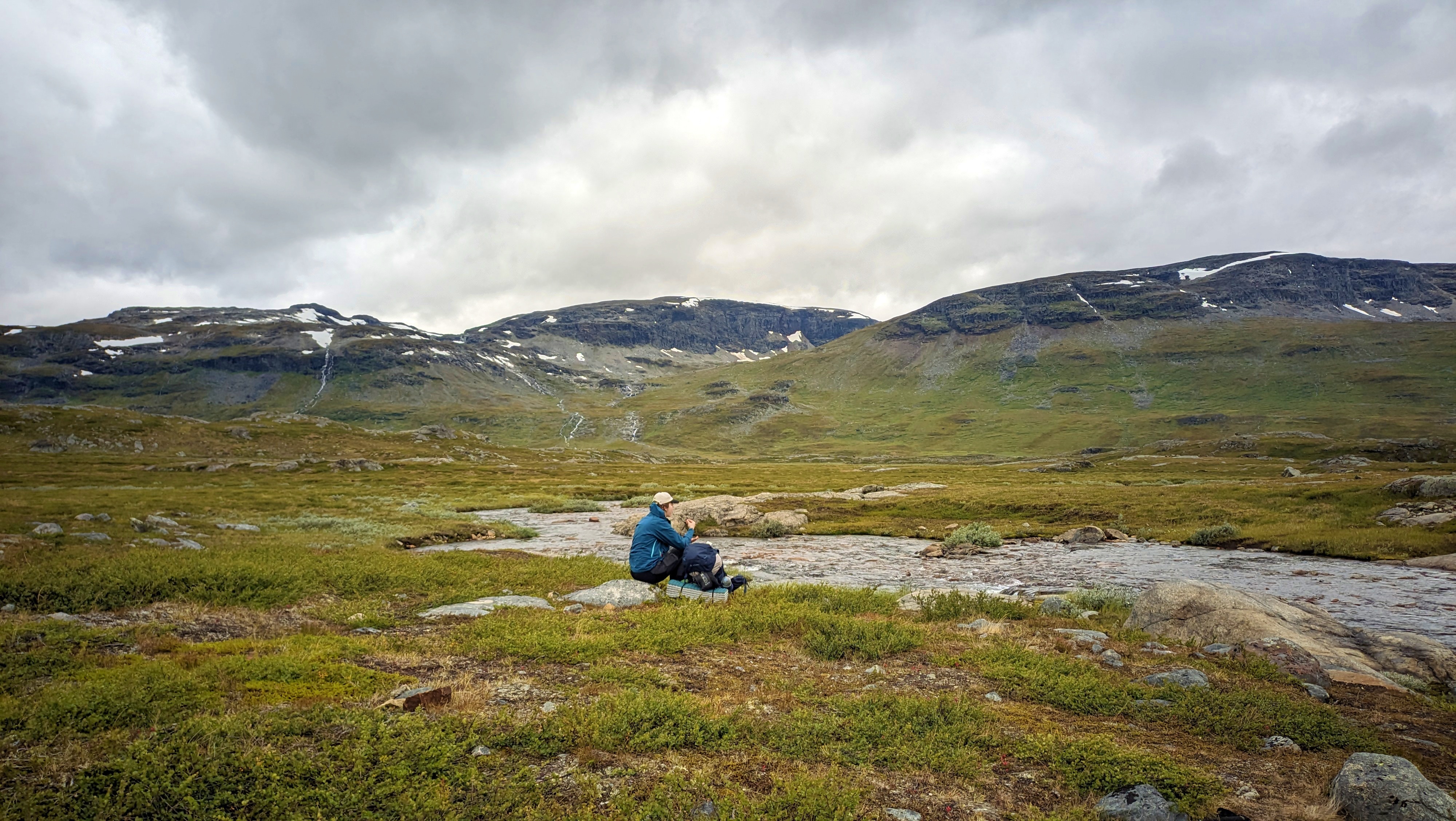
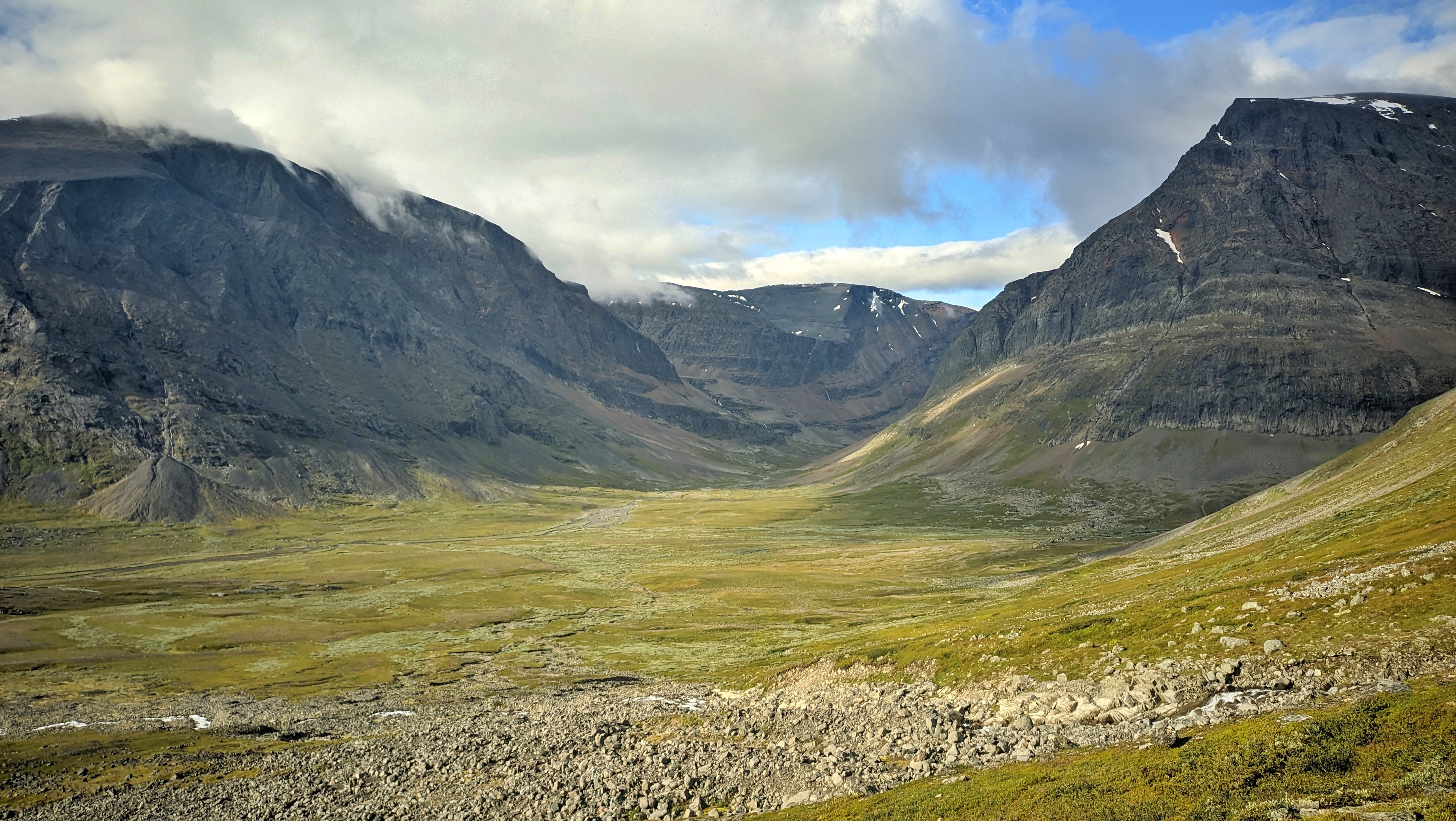
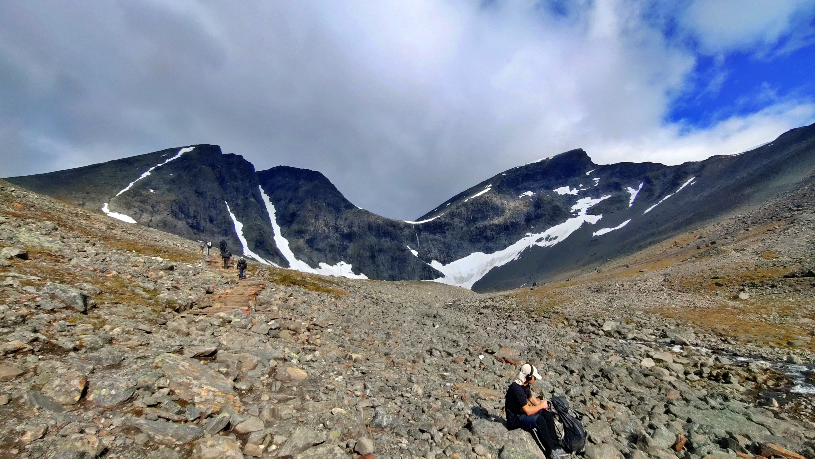
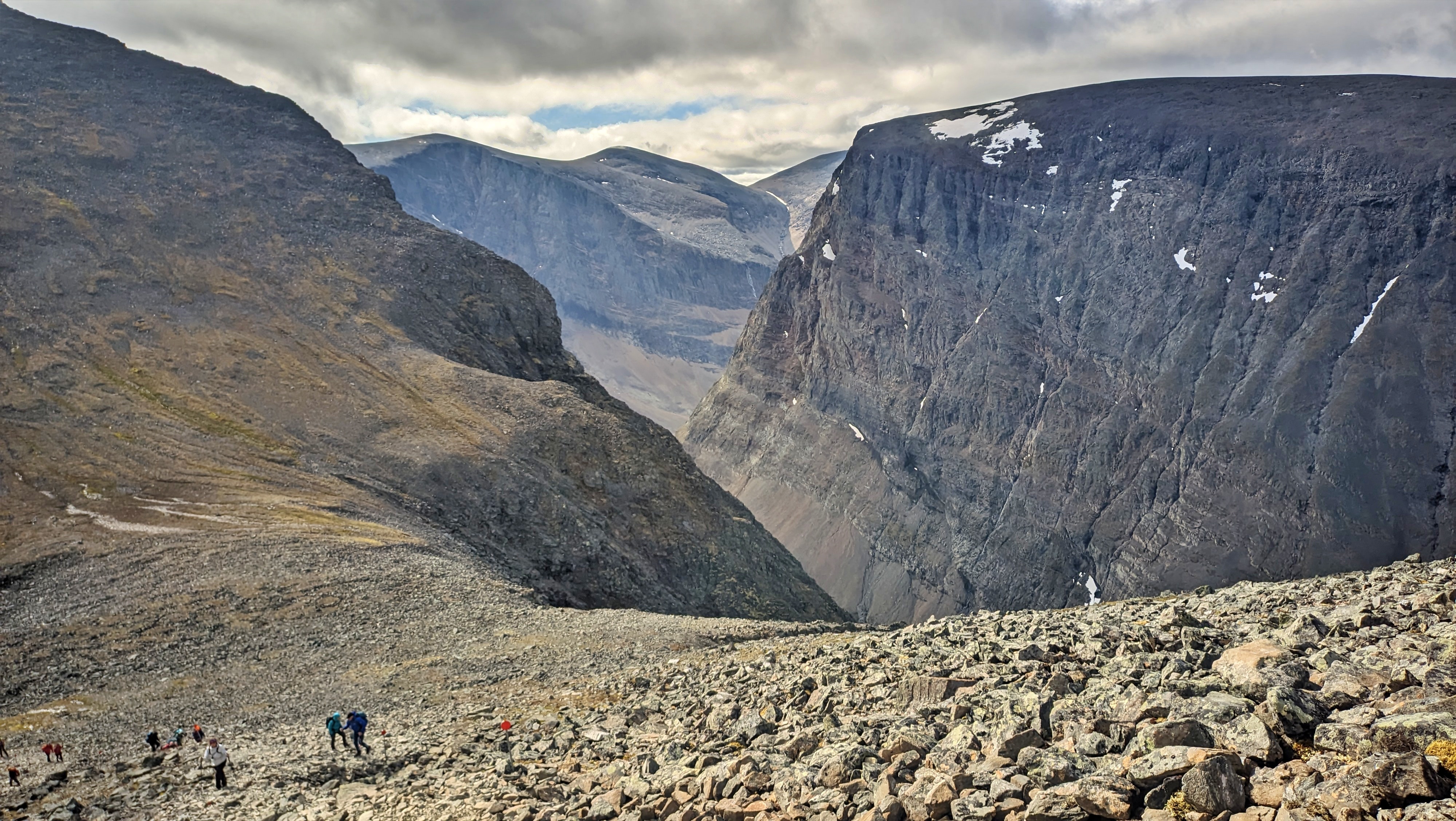
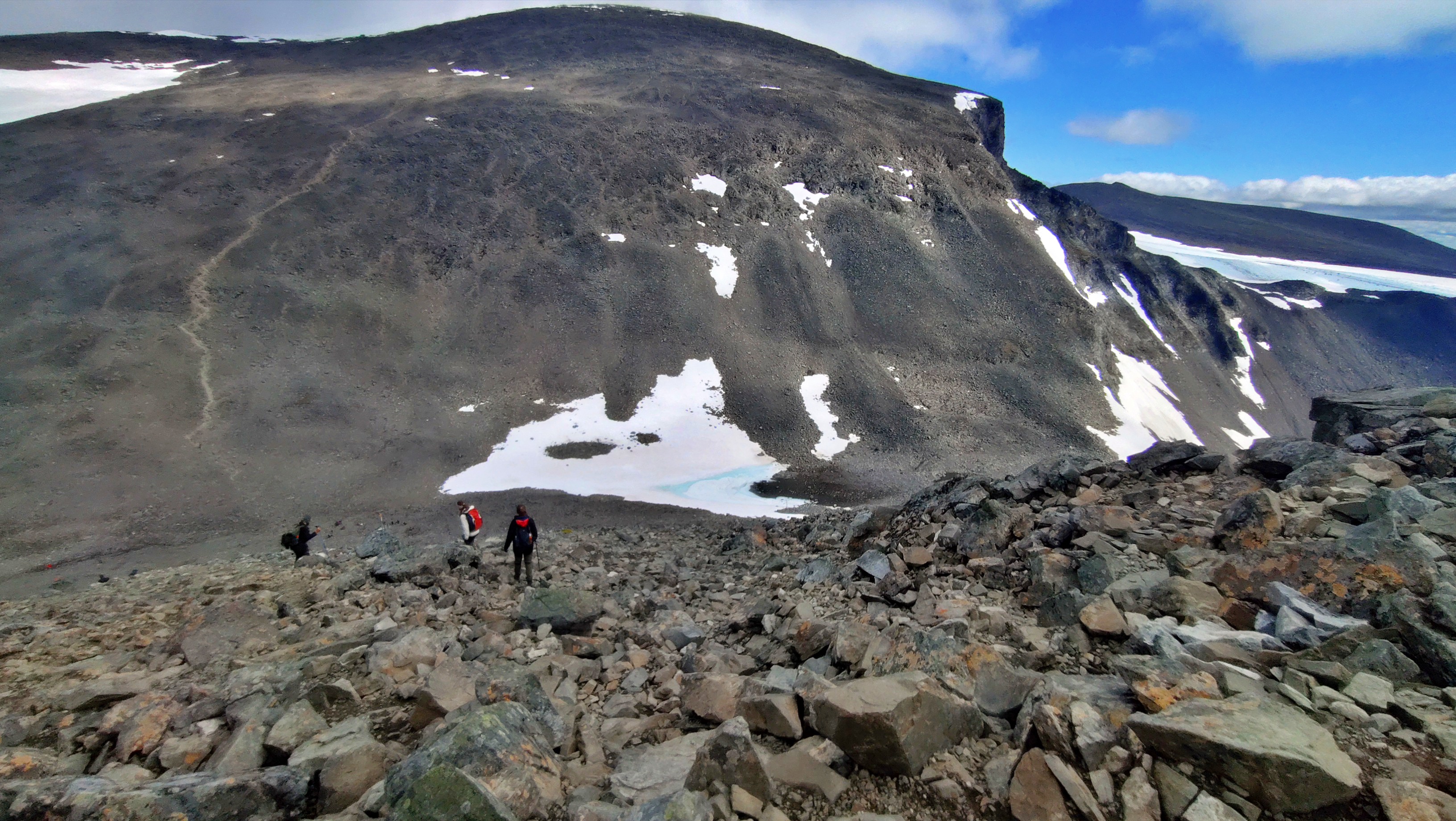
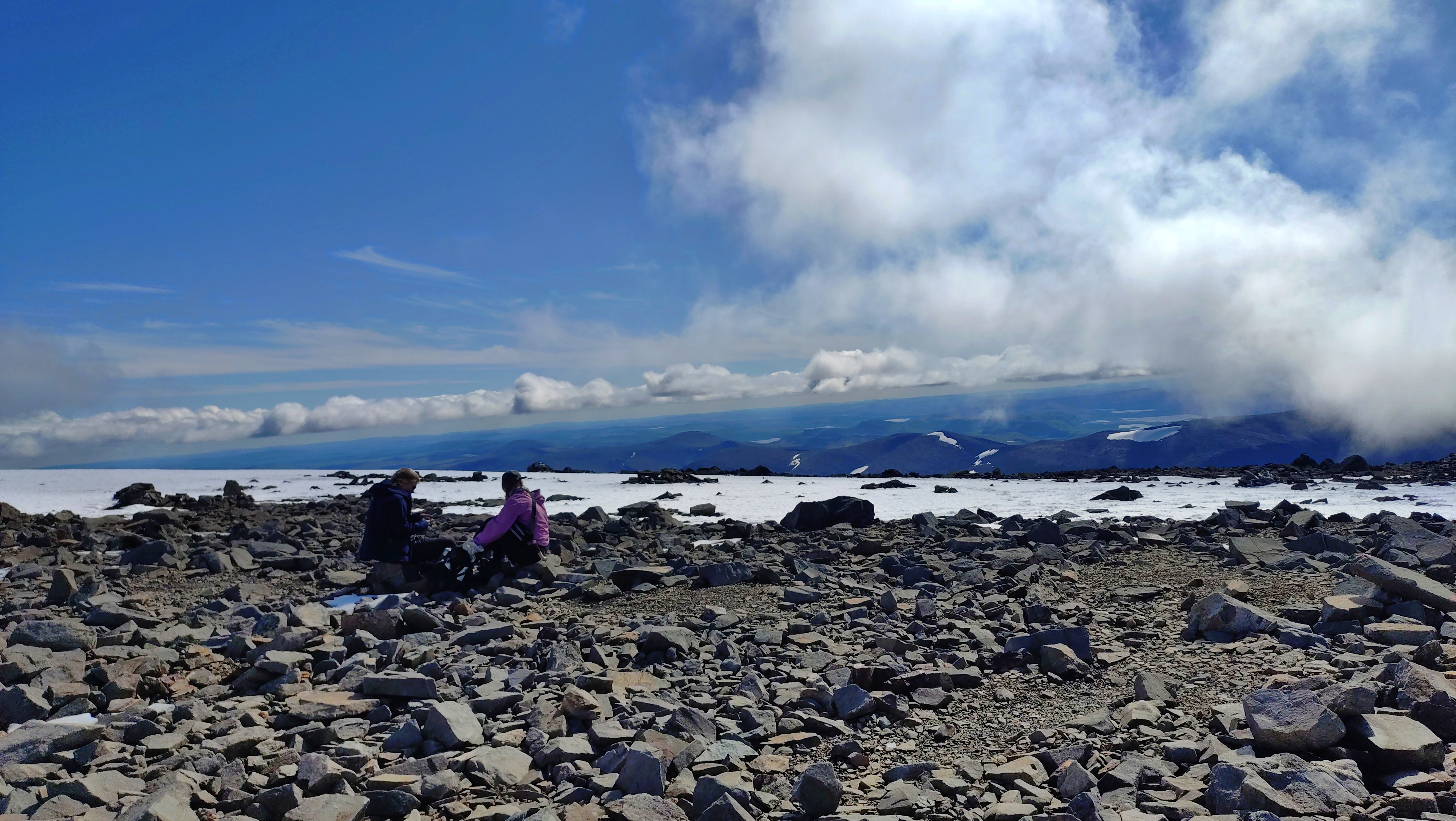
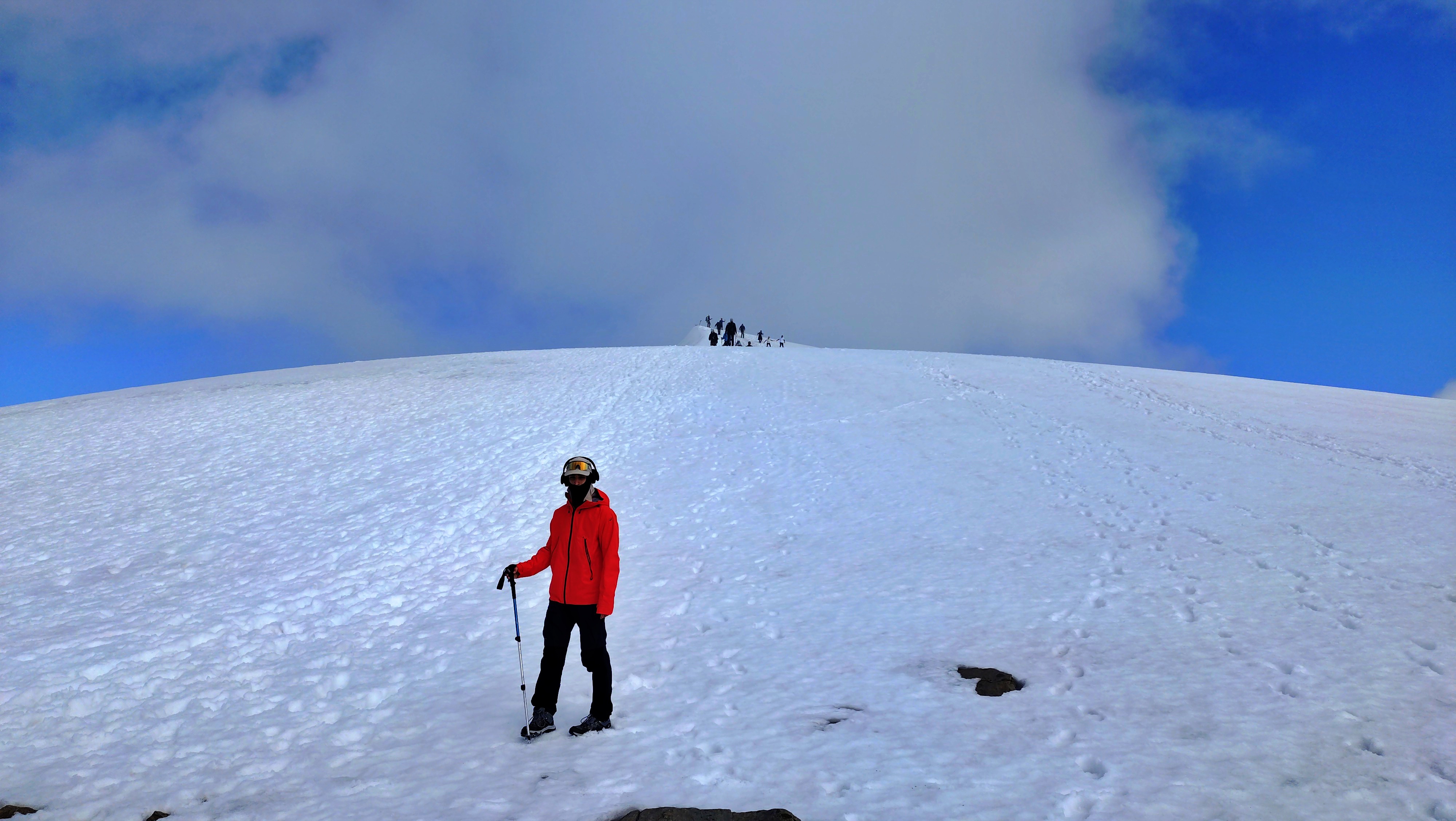
This was all so that we could rest properly and reach the Kebnekaise peak on the next day. Kebnekaise’s southern summit is ice-capped and its height changes, while the northern rocky summit is higher when the ice cap drops sufficiently. Thus, the exact summit elevation is not static. Now, the terrain was flat no more. Full of sharp pebbles, shaped by the heavy glaciers that used to flow on top of the rock, and the occasional granite steps, the trail took you up alongside Tolpagorni peak, over the top of Vierranvárri peak, down to the saddle where the glacier ends, and again up towards Kebnekaise peak. The specific up and down of the crossing is what (mentally, mostly) may exhaust you. The top was still covered with snow, but someone with a sense of humor had carried a tall tree branch to decorate the summit. A couple of topless boys enjoyed a beer right there with a view of the glacier below. Apparently, cheering with drinks at the top is a regular tradition. Heading back down felt endless, but since we were blessed with excellent weather, it was a breeze.
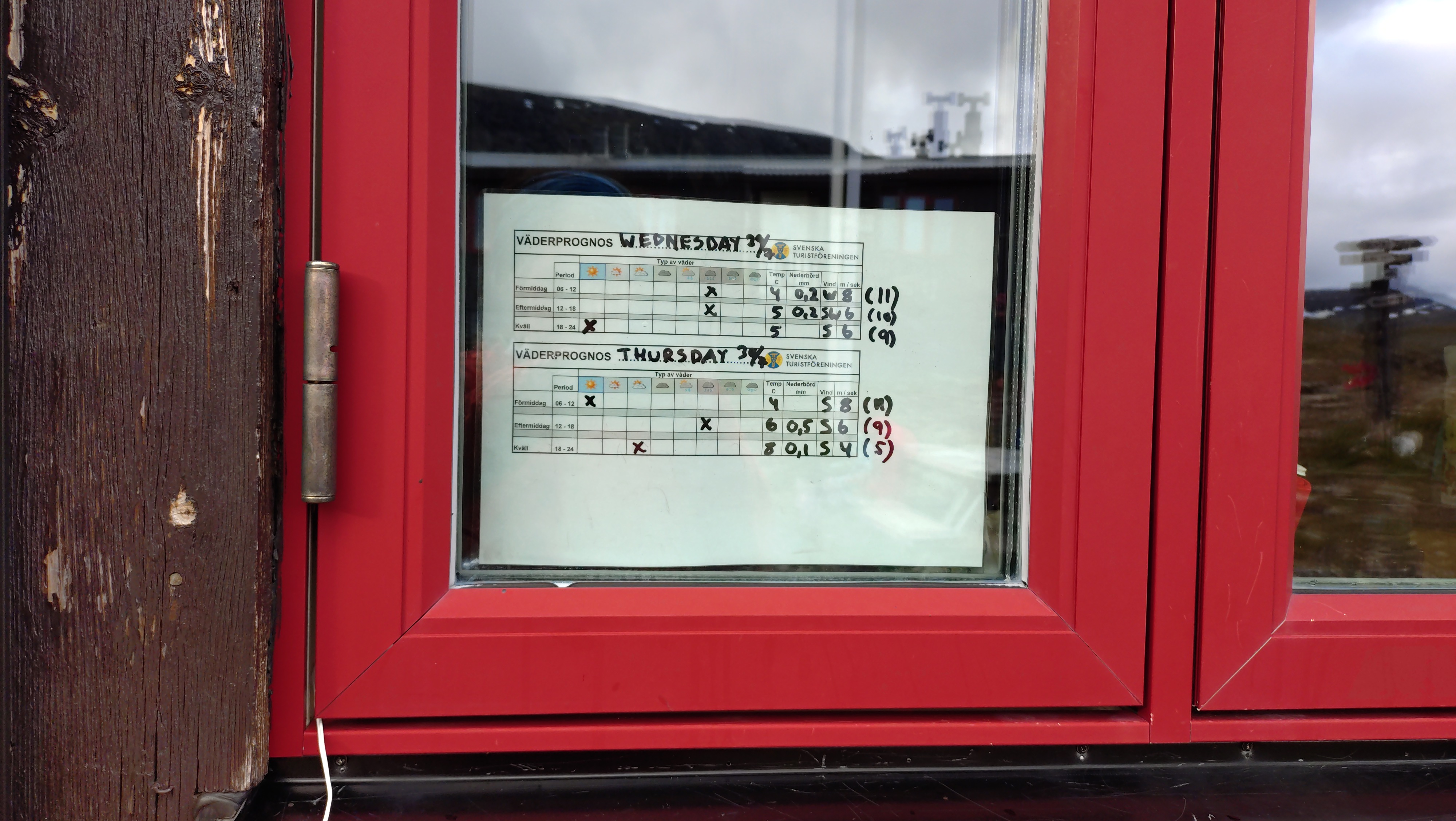
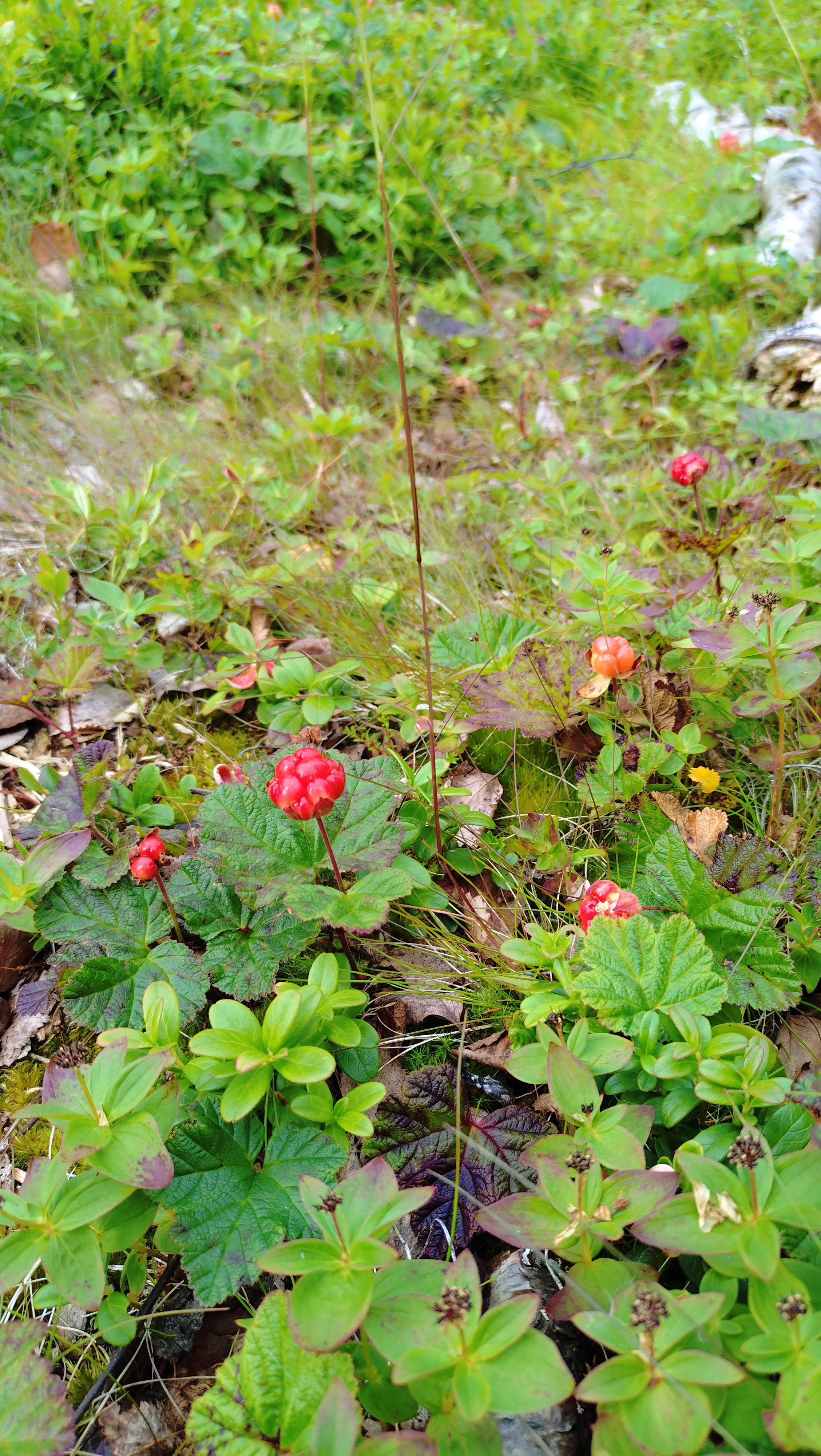
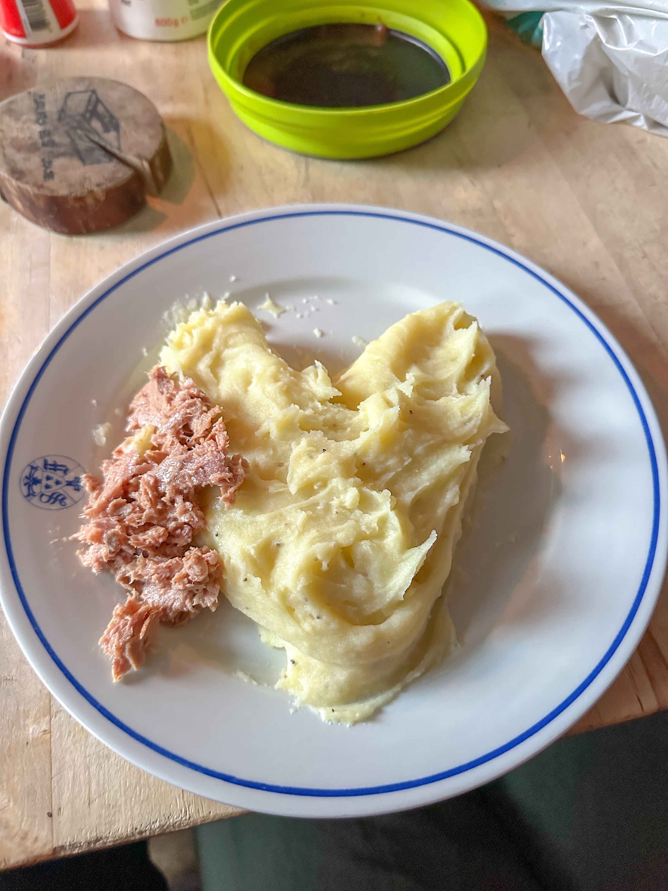
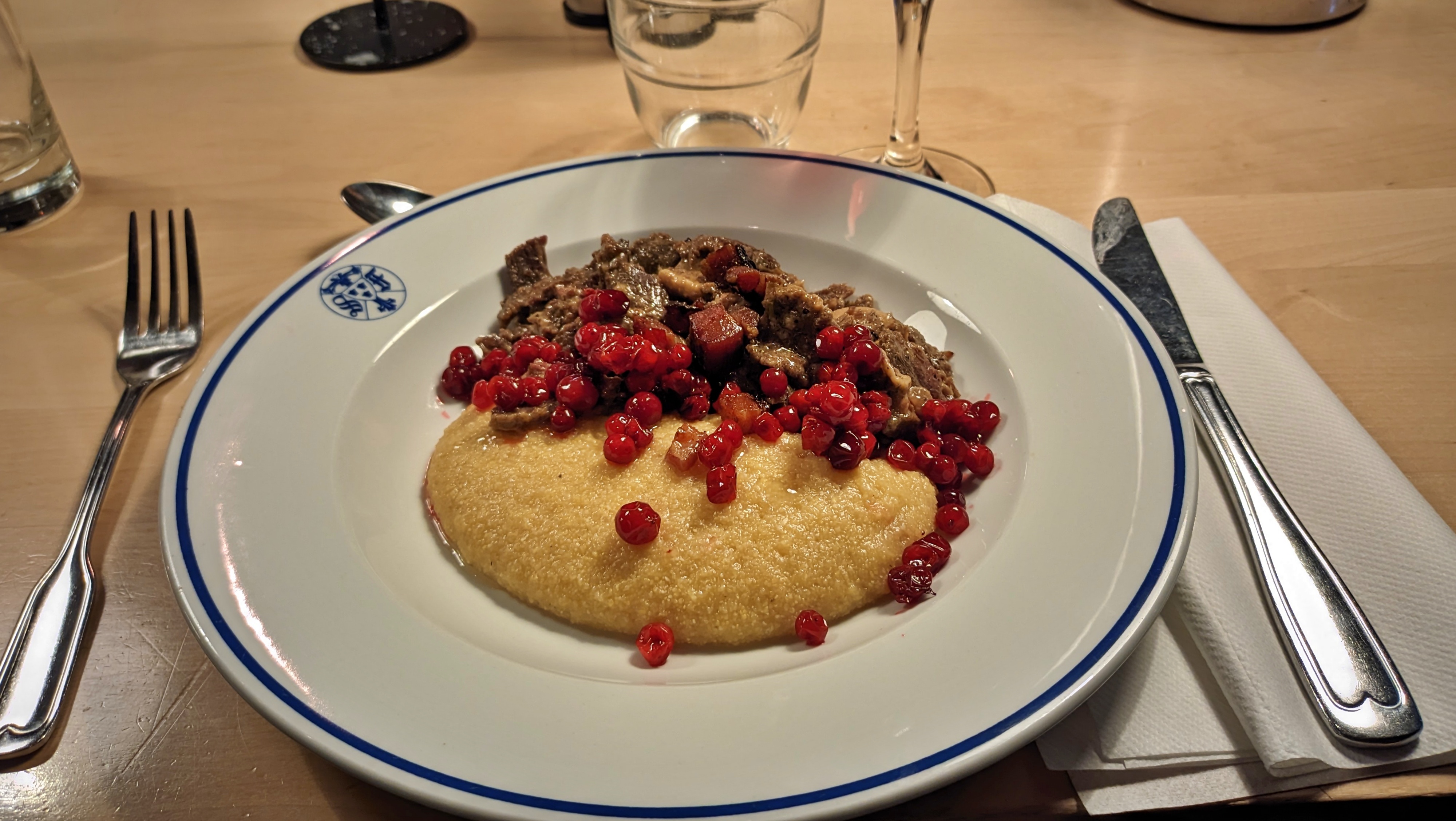
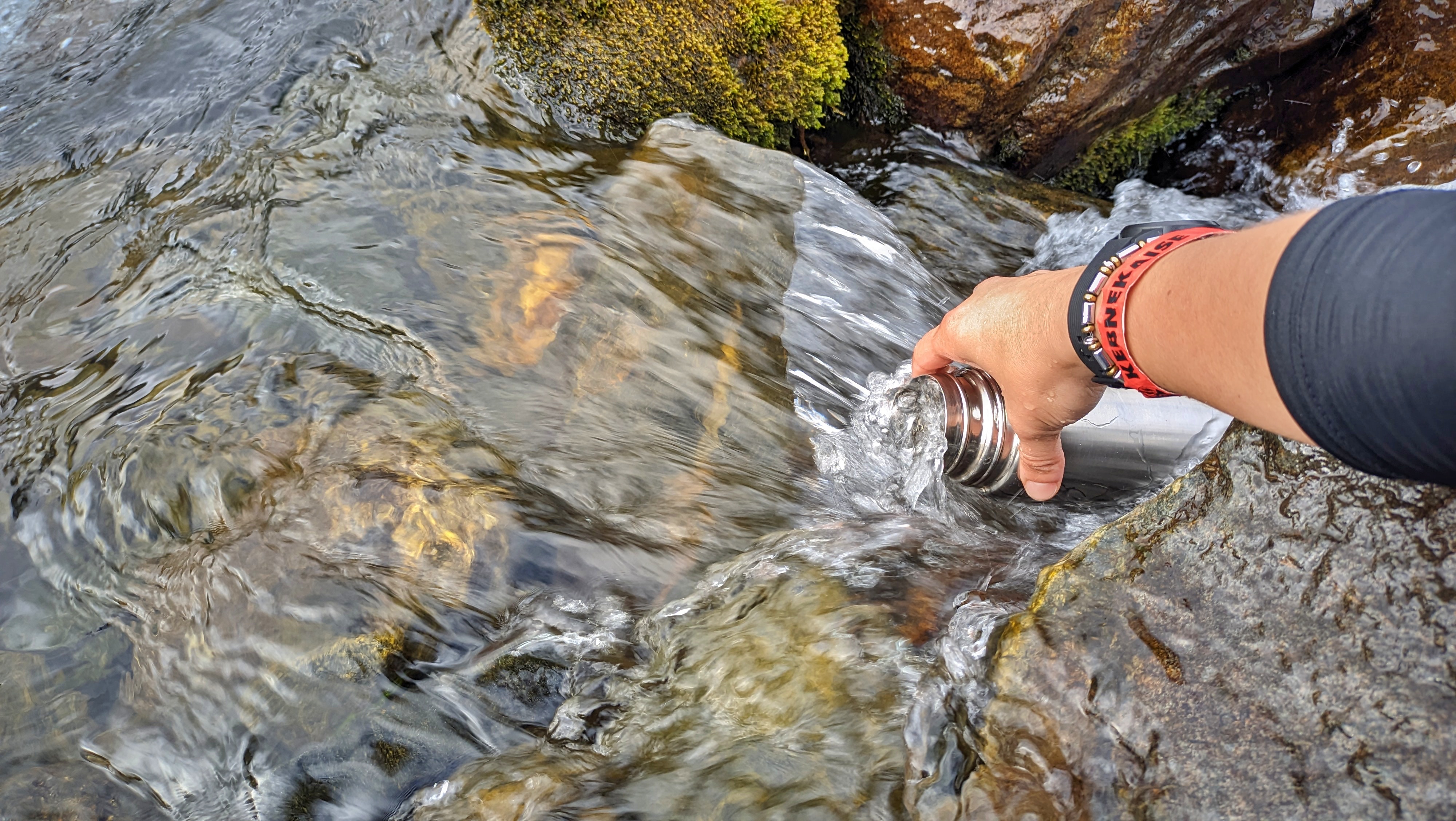
As you can understand from the schedule above, on some days we had to walk more than 25 km, carrying our heavy backpacks through annoying rain and wind. On those days, the thought of the hot sauna, that would not only warm, but also cleanse us, was what kept us going. For those who lost their courage, an occasional boat ride would be an unexpected shortcut — but for a fee. For me, the trek was not especially difficult or technical. Just long, and comfortable, so long as you were wearing a mosquito net around your face. I came across many interesting Arctic plants, and was surprised by the variety: I didn’t expect as many species in the Arctic. Edible blueberries were abundant and a welcome snack. Plus unfamiliar local berry varieties, as well as mushrooms, which I was less confident about identifying. We generally drank water directly from clear, fast-flowing streams, so there was no need to carry much. Cooking and cleaning was done with water that we fetched from the river in turns, with large metal buckets. Food-wise, we were carrying packs of tuna and mashed potato powder, although I sprinkled some spicy nori for the extra kick of flavour. (Greeks will sue me but) trachanas with spinach and seaweed is an absolute delicacy that fills you up after 10 hours of walking. At the Kebnekaise hut was the only day when I ordered a meal, and that was because I wanted to try their reindeer as a thank you to myself for reaching the summit of Sweden. Meh, interesting, but I could probably survive on my tuna a bit longer. I was more impressed by the lingonberry sauce, instead.
On our final day, we walked the last few kilometers to Nikkaluokta station. Considering what we had already been through, this later part felt pretty unimpressive and blunt. Still, it opened my appetite for exploring the entire length of Kungsleden, at a later time, if ever. I thought the mud and the tuna would annoy me, but feeling the warmth of the hot steam on my skin, having no signal reception for almost a week, and being surrounded by people that I barely knew but with whom I shared common hardships, made my heart feel only fuller and my head lighter. You can find the complete route here.
Read more:
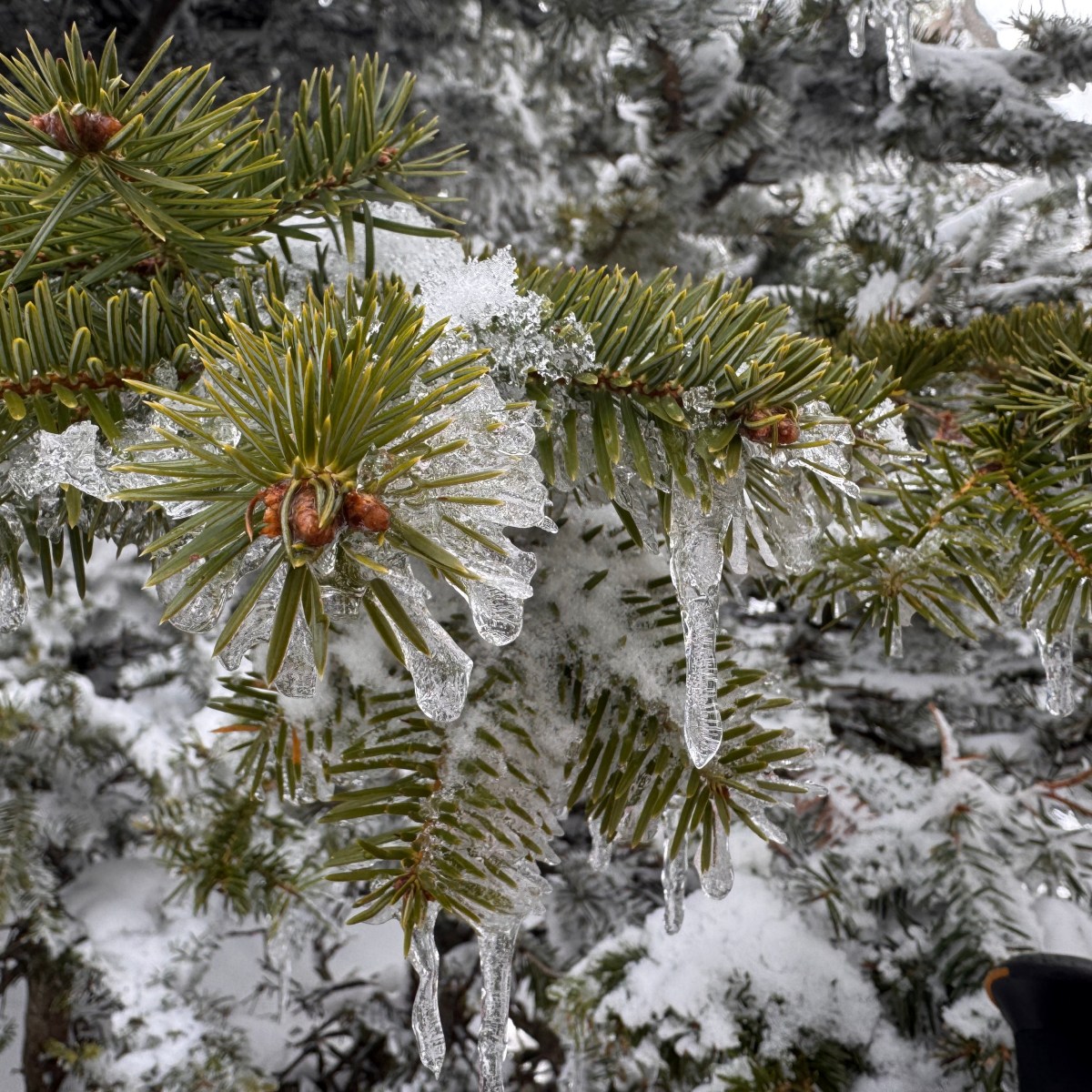
Hiking in Greece: Giona in winter
My biggest regret from my mountaineering course was that we never got to hike up Mt Giona in…
Keep reading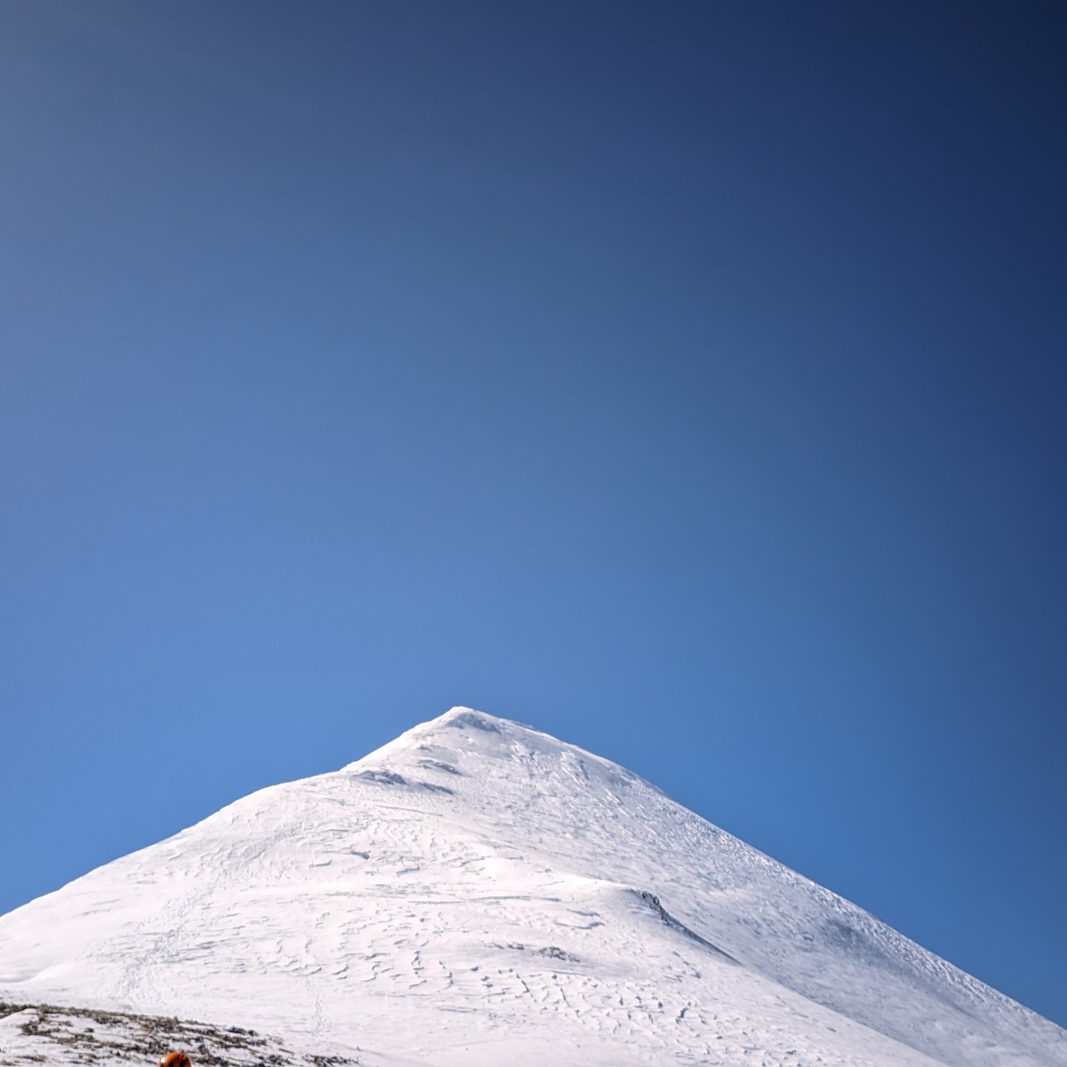
Snow on Taygetus
Here we go again with the snow-capped Mt Taygetus. It is quite strange for a girl raised at…
Keep reading
Accidental Zurich
One cool thing about studying in Tokyo is that your classmates are often the free-spirit types who love…
Keep reading
 belleelene