Japan is made up of 4 main islands and thousands of smaller ones. One of the latest acquisitions is the northernmost island of Hokkaido, “courtesy” (more like genocide) of the indigenous Ainu. In the past, it used to be refered to as Ezo by Japanese and Ainu Moshir by the Ainu. Hokkaido (北海道) means northern sea road, a fitting name corresponding to its location close to Russia, Sakhalin and Kuril islands. It spans an area of 83,423.84 km2, some 2/3 of the area of Greece (map projection does not do justice to its true size). Despite being big, it is administered as a single prefecture. You can access it via airplane, although the JR trains from Honshu reach up to its southern tip. In Japan, it is famous for the many ski resorts, volcanic hot springs, cows, cheese and yubari melons.
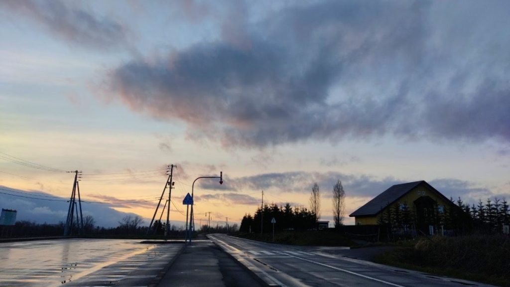
Looking at the map, you might notice some words that are repeatedly included in place names in Hokkaido. Most of such words originate from the language of Ainu natives. Thus, “nupuri” means mountain, “shiri” means land, “pet/betsu” means river and “to” means lake. I stayed in Hokkaido for 6 days in early spring, and it was raining or snowing on 5 of them. This is what the roads look like, when following the route Chitose -> Lake Akan -> Asahidake->Biei -> Noboribetsu -> Lake Toya -> Chitose. What surprised me the most, was how vast the plains seemed, despite large volcanic mountain ranges looming above. Indeed, it must be a proper cow paradise.


Other posts from this trip

Roadtrip to Hokkaido: Looking for the natives (Pt. 1)
If you are good with hints, then you probably noticed already that a post about Hokkaido was long overdue. In previous posts, you already got a sneak peek of what spring roads look like in the far north, as well as understood more about the climate of the…

Roadtrip to Hokkaido: All is white (Pt. 2)
At the end of last post, we left lake Akan to head towards Biei, which presents itself as ‘the most beautiful village in Japan’. tldr; it may well be, but I visited in the wrong season. Nevertheless, despite being known mainly as a hot photo spot for the…

Roadtrip to Hokkaido: The stinky valley (Pt. 3)
A surprise to no one, it seems like Hokkaido’s north is pretty cold, even when judging from spring’s average weather. That’s why, it is time to head to the south, where belated hanami blossoming (compared to the rest of the country) awaits. The first stop is Noboribetsu (登別),…
