
[Visited on October 4th, 2020]
We already know that people are mesmerized by Mt. Fuji. But as I have already described before, Mt. Fuji up-close doesn’t have the best view – or best scent for what is worth. In order to get the most out of it, a lot of people opt to climb the peaks of a mountain range just on the north of Mt. Fuji. Beware, the Tanzawa mountains are much rougher than Mt. Fuji will ever be, despite being half its height.
The Tanzawa mountain range is a group of peaks located on the south side of Kanagawa prefecture, reaching to the border with Shizuoka and Yamanashi prefectures. While the highest peak is Hirugatake (蛭ヶ岳) at 1,673 m, the most popular is Mt. Oyama (大山) at 1,252 m due to its religious significance. I’ve recently experienced the many, many, many stone steps of Mt. Oyama, so a natural and untouched path was much needed.
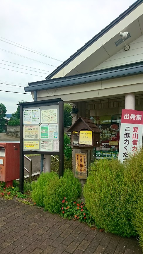
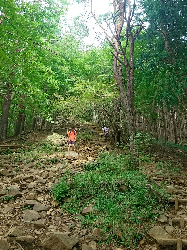
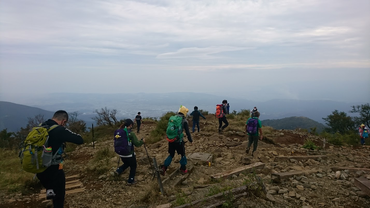
We decided to head to Tonodake (塔ノ岳) and if the sunset allowed for some margin, continue to Mt. Tanzawa itself. It was a nice day, with some persistent clouds and a relatively cool breeze. A lot of people climb the mountain, and a considerable amount of accidents seems to happen. A helicopter evacuation needed to be arranged just the previous day, according to the blog posts of one of the mountain huts. For this reason, at the starting point next to Okura Bus Stop (大倉バス停) there is a box where hikers leave a notification paper with all their contact information and hiking plans. We’re starting our way up, climbing the Okura ridge.
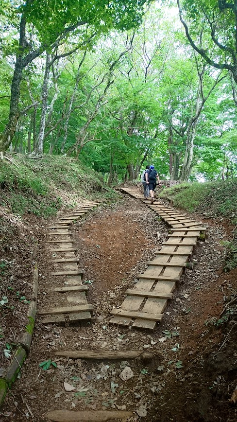
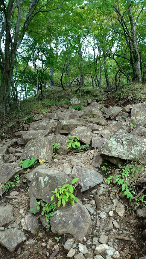
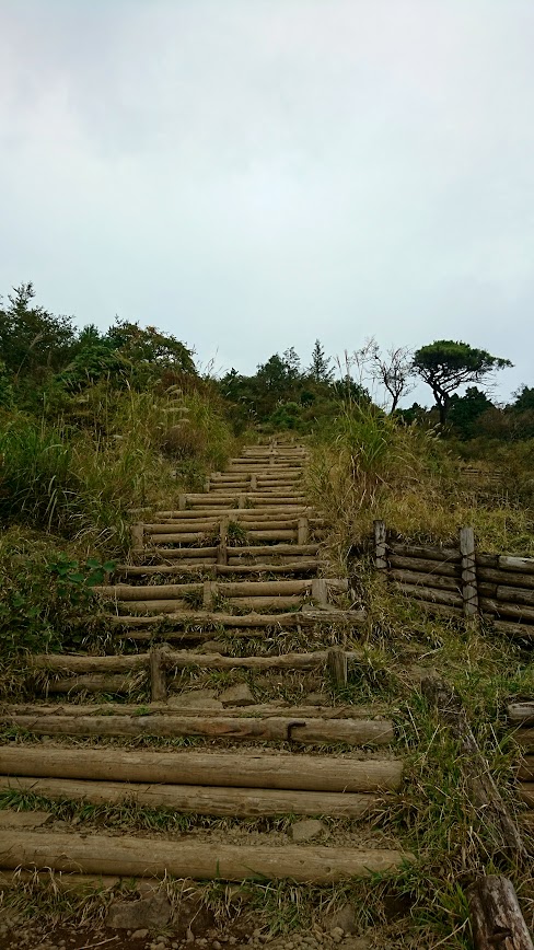
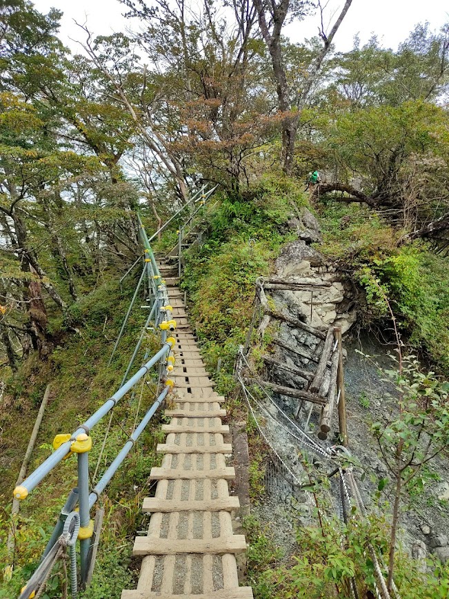
The path itself is well-marked, but quite rough, with hard rocks laying disorderly in contrast to the clean stone steps of Mt. Oyama. At points, the path was covered with man-made wooden supporters or steps. However, these structures were available only on relatively flat areas; there is no way to bypass heavy rocks with wooden steps.
affiliate offers
- Hike Mt Mitake comfortably with Wabunka
- Adventure in Aegina: self-guided tour with AR puzzles — from 12€/group.
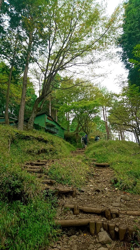
Tanzawa mountains are not easy to climb. Adding to this, the prettiest season is supposedly in winter, when everything is covered in snow. As a result, 5-6 huts are available along the path in order to provide a resting place to climbers. Some of them only serve food or beverages and operate only on weekends. Others provide accommodation and remain open throughout the year. You can determine which serves what by the suffix on the hut’s name; chaya (茶屋) are resting places and sanso (山荘) are mountain lodges.

There are both operational and abandoned huts along the path
This fact poses a question. How do the mountain huts get provisions? One option in by helicopter, although it is expensive. Another option appeared in front of us after 30 minutes on the path. A muscular guy wearing only a T-shirt (imagine us with jumpers, raincoats and such on his side) carrying no rucksack. He was carrying something much more valuable; 5 cartons of two dozens Asahi bear each. A lot of athletic guys take up the task of hiking up to mountain huts in order to transport anything necessary, from beers to soba noodles and to blankets.

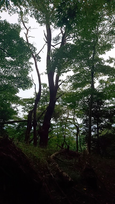
The climb towards Tonodake did not offer anything remarkable until the top. The only things around were trees and wood planks and rocks. Quite the detox indeed. Clenching teeth and mustering courage, you climb peak after peak just to discover you are not quite there yet.
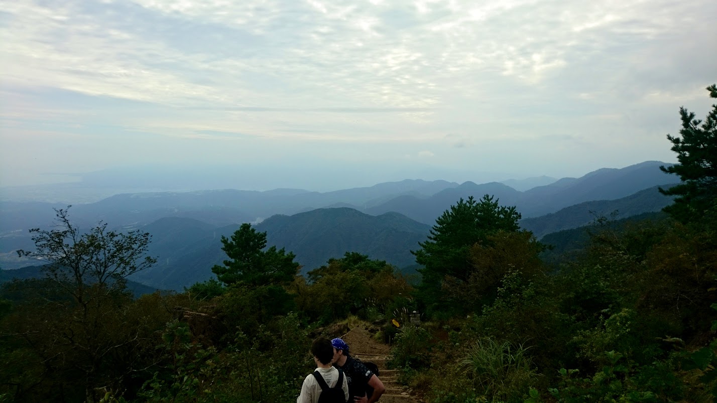
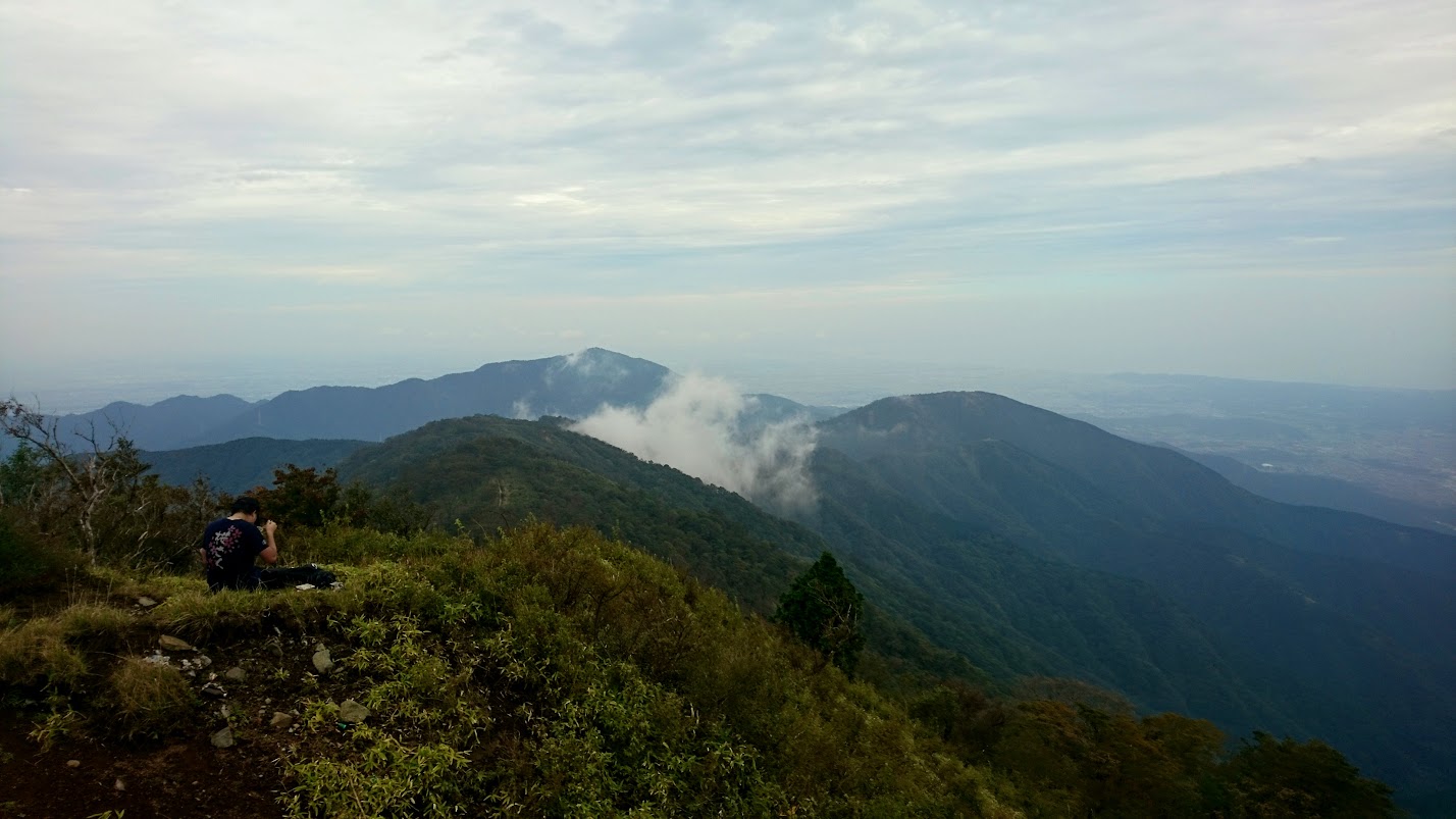
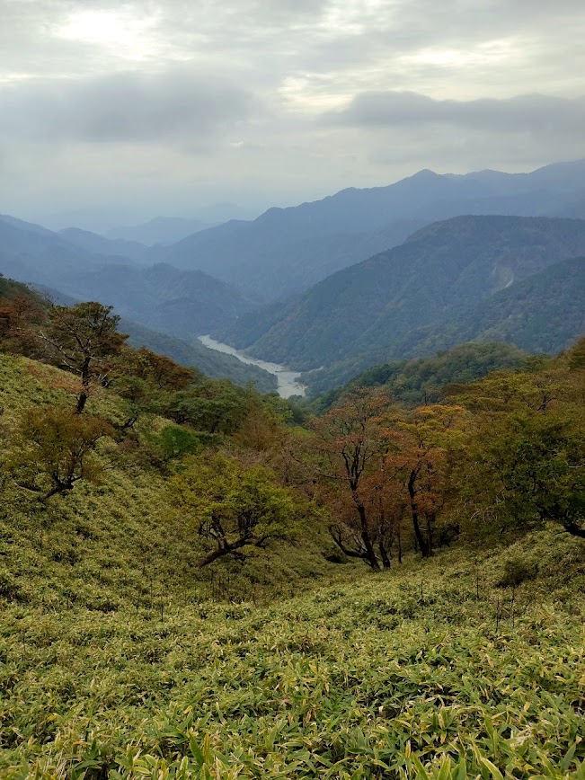
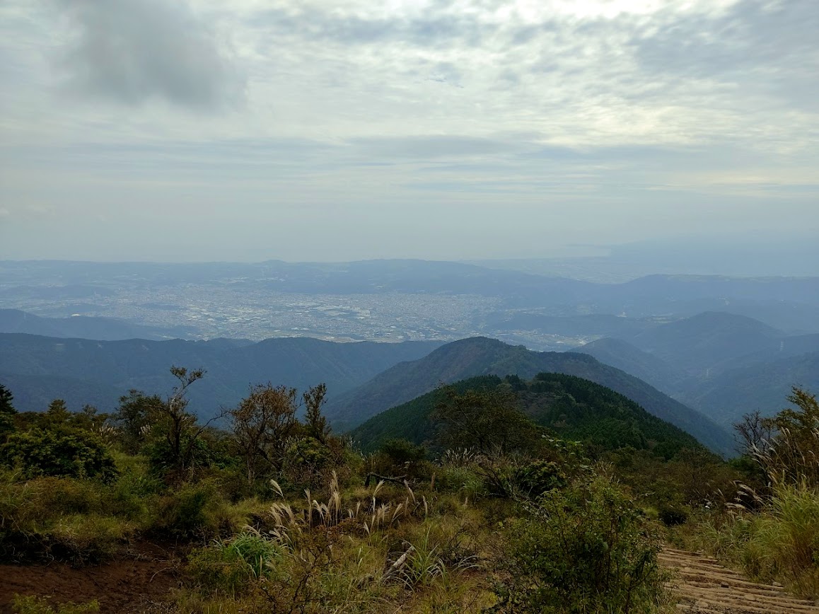
Suddenly, the trees start to clear up and a magnificent view of the mountain range and the city of Hadano below catches you by surprise.
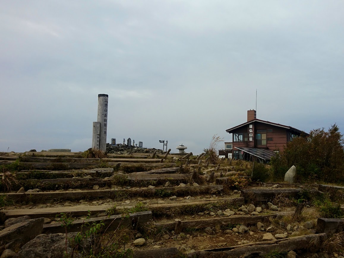
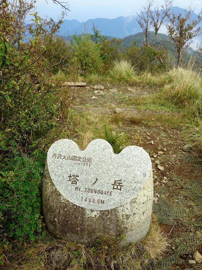
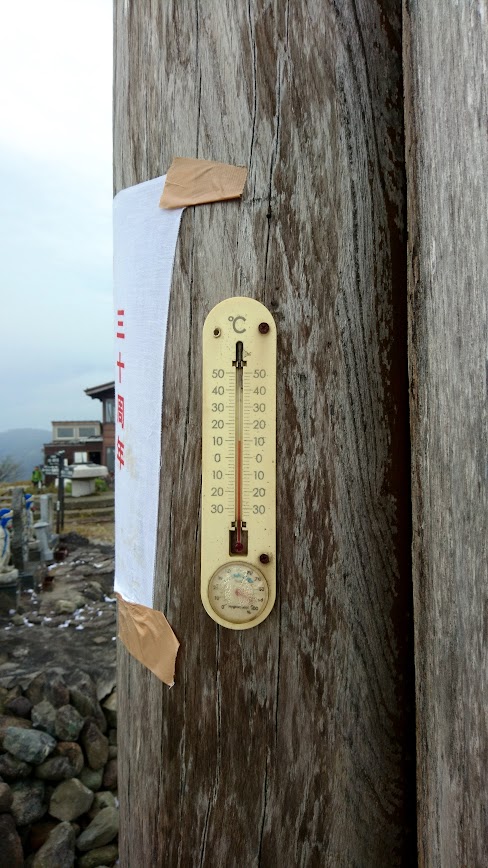
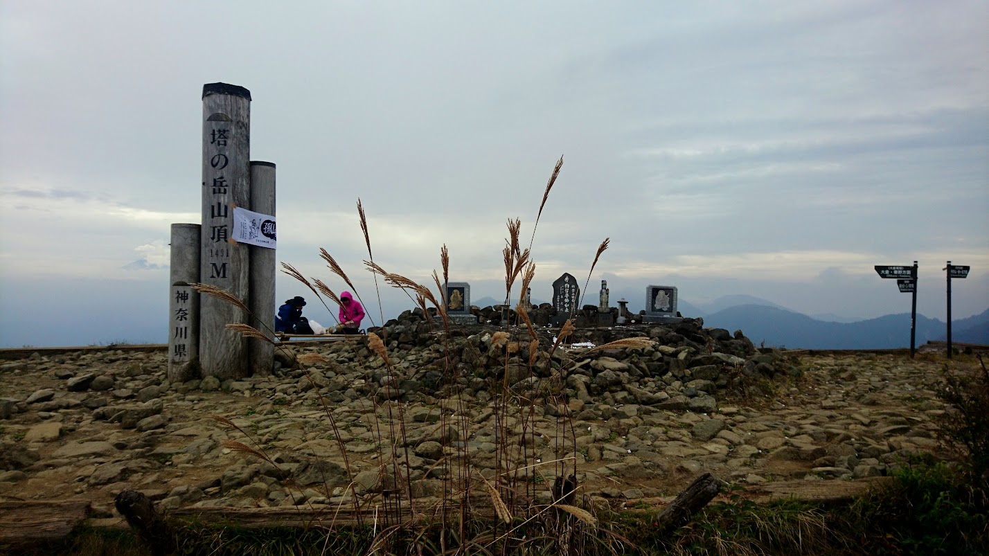
Soon, we reach the To-peak. The To (塔) in Tonodake means “tower” and indeed the peak at 1,490 m is towering above the city. The temperature in the afternoon is at 10 degrees Celsius, as per the thermometer on the top.
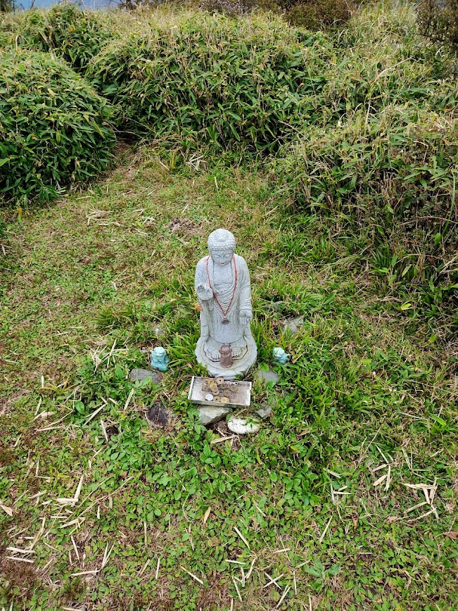
On Tonodake, there is a small Buddhist sanctuary. Actually, just the previous day there was some Buddhist festival on the top, thus the statues were covered with confetti and ribbons.
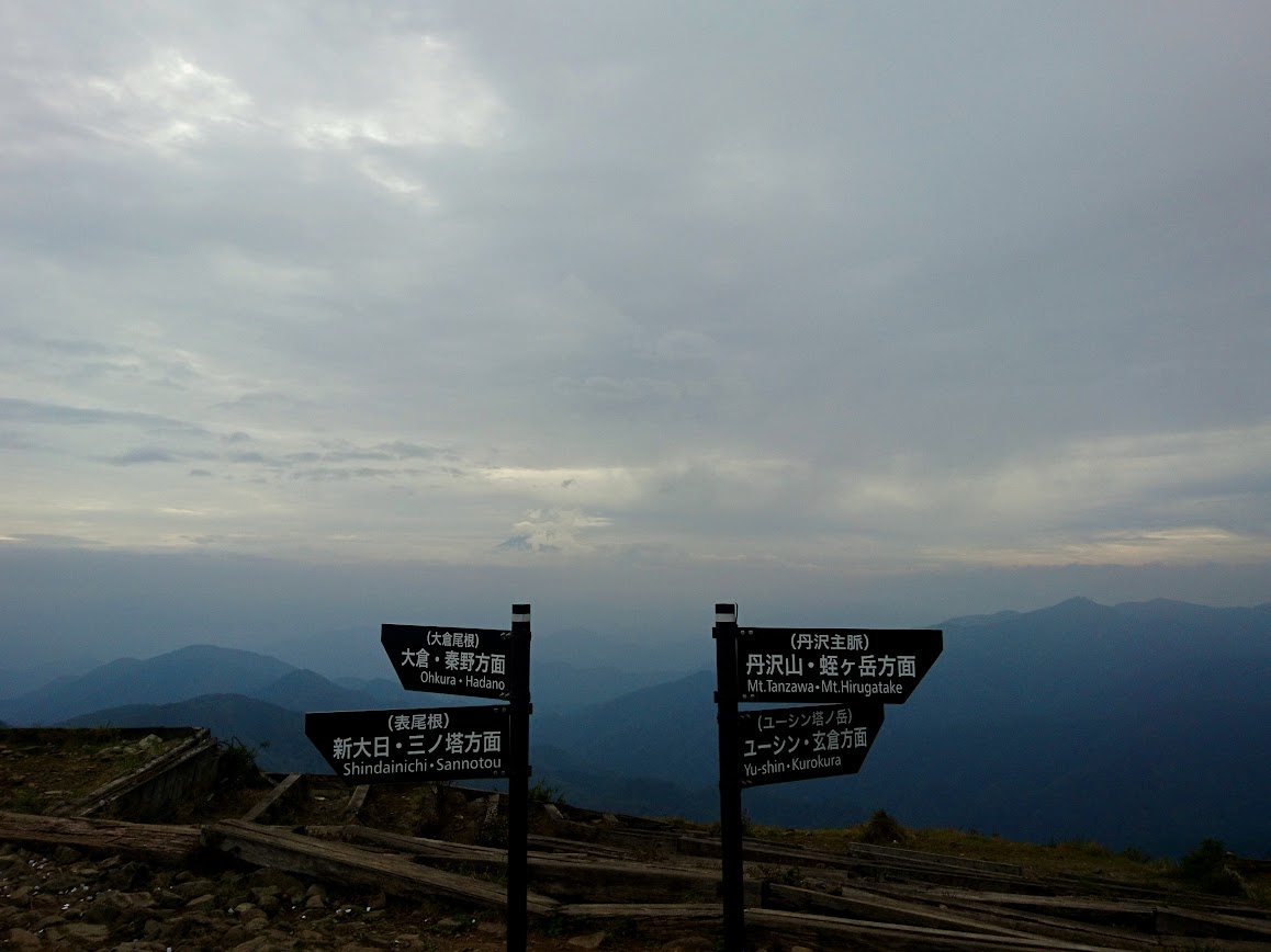
From now one, there are two options; either grab hot coffee in the hut of Sunbutu Sanso or continue as quickly as possible to Mt. Tanzawa, which needs an approximately 1.5 hour round trip with a fast pace. Mount Fuji is barely visible due to the heady clouds, so second peak it is.
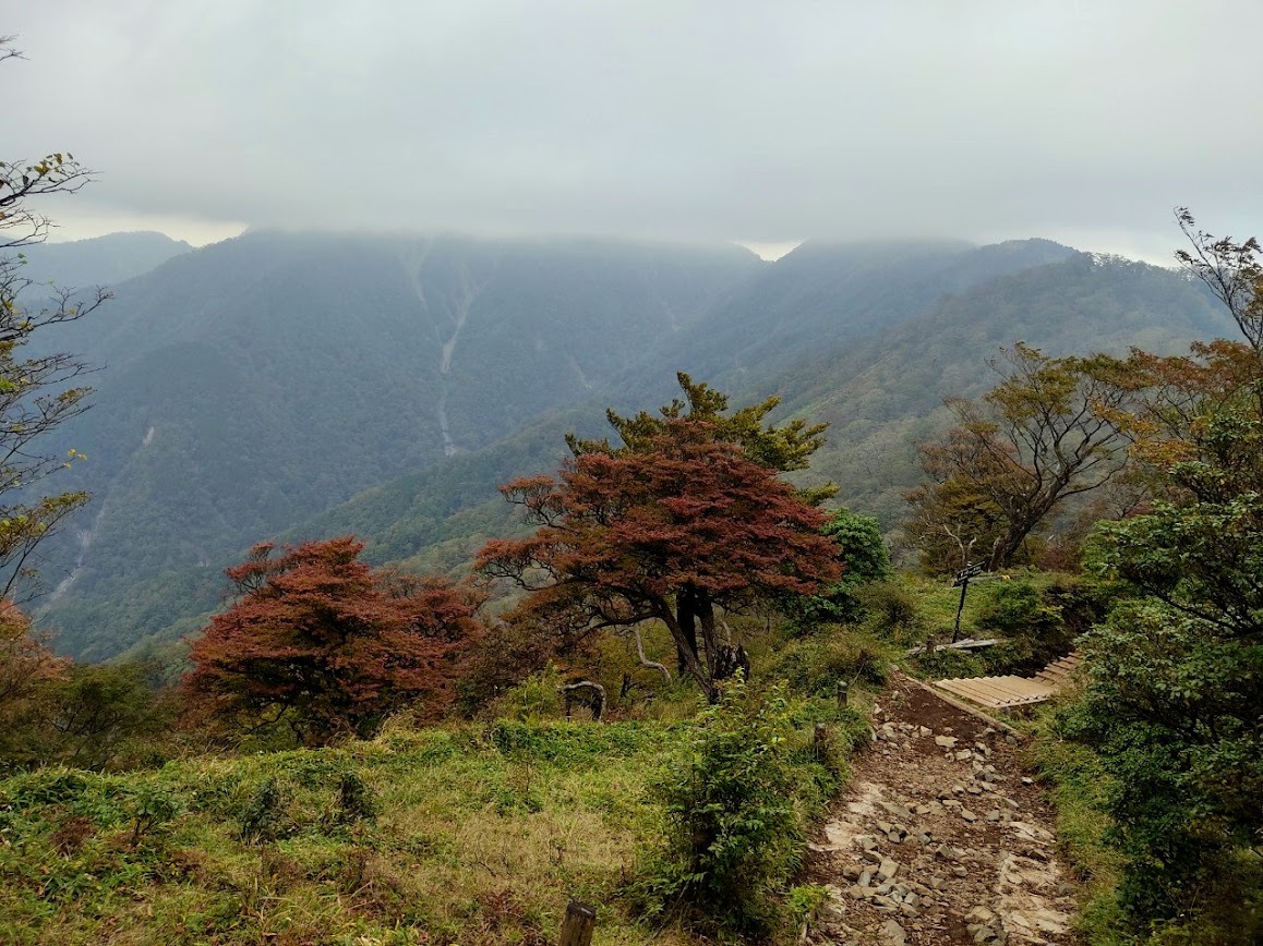
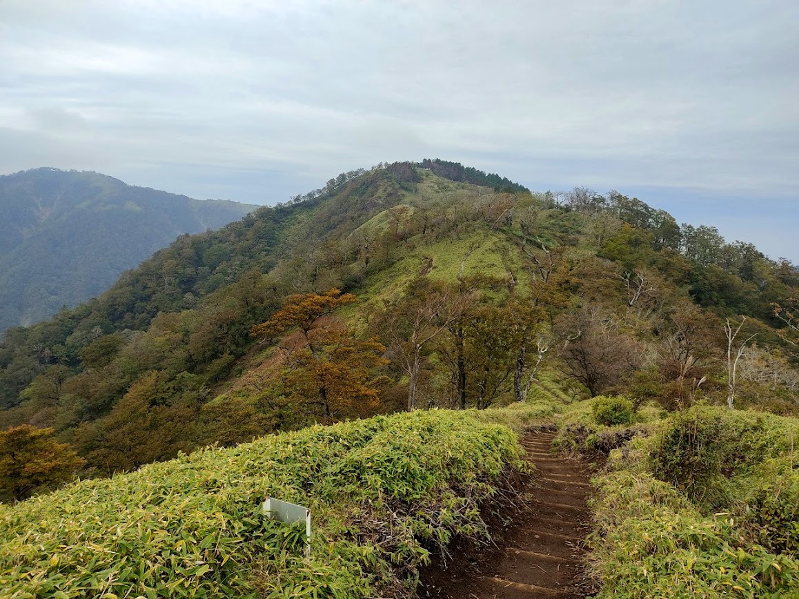
In order to reach the peak that gave the name to the whole range, you need to go down and back up again, crossing the ridge. The hike continues with more foliage and shorter trees. Due to the lower temperatures of high altitude, a couple of trees have started turning red for the koyo.
Parts of the path were violently destroyed, but that for sure does not hinder a determined hiker.
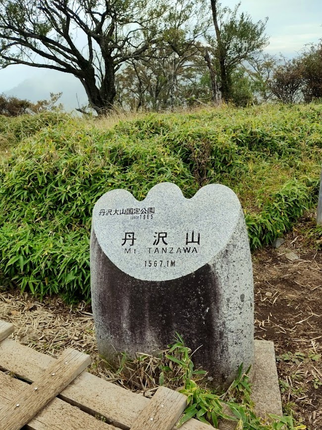
With some patience, the 1567 m of Mt. Tanzawa are conquered. A smaller Buddhist statue is there to take care of emergency prayers and reward your devotion to climbing all the way to the top. Another mountain hut is waiting at the top.

Looking on your left, either from Tonodake or from Tanzawa, one can see a white river-like shape in the valley below. That is none other than the pure blue of the Yushin valley. Unfortunately, due to major disasters in the area, most paths in the valley are closed, even dangerous to access. If it reopens soon and you are able to get there, rumor has it, you can see there one of the prettiest shades of blue.
If you actually liked the mountain range, consider grabbing a stamp-rally pamphlet from the nearest hut. Climbing these two peaks, along with the neighboring Nabewari and further away Mt. Oyama, and collecting stamps from checkpoints along the way, is not only proof of your achievement, you are also rewarded with a collectible gift.
We were the last people to start getting down the mountain at around 4pm. The owner of one of the huts was kinda worried about us starting to climb down that late, but was still confident that we would make it. Oh, and guess what, we met the beer-transporter guy arriving finally to Tonodake. It took him double than us, and he sure looked exhausted. Anyway, in the end we had to hike with flashlights for the last 30 minutes, but the terrain was flat enough to be safe. We also met a couple of people who seemed to not worry too much about their pace.
The reward for such a hard day was some spicy korean BBQ with handmade kimchi. We entered the shop all muddy, with our full hiking gear, but luckily no one seemed to bother. I usually try to get to an onsen and clean up first, but at that time my hunger was stronger than my shame.
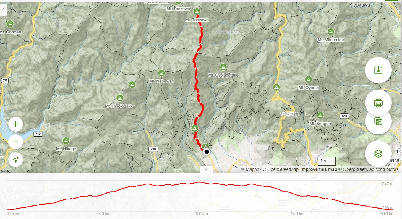
If you are interested in the route, the detailed are available here. I strongly recommend allocating enough time, in order to avoid having to move after the sunset, like we did. I am not sure if I will try to climb again during winter, but the images of the snowy landscape got me tempted, I will not lie. What do you thing? Do you prefer mountain ranges or solitary peaks?
